
1963 Map of Woodstock
USGS Topo · Published 1963About this map
The Saint John River valley anchors this mid-century portrait of the international borderlands, where the agricultural heart of Aroostook County, Maine, meets the timberlands of New Brunswick. Along the western edge, the agricultural centers of Houlton and Fort Fairfield are linked by the Bangor & Aroostook RR and U S 1, serving the region's potato-growing industry. Crossing into Canada, the terrain transitions into the dense forests of the Miramichi Highlands, drained by the vast networks of the Miramichi River and Southwest Miramichi River.
Find a feature on this map
159 named features on this map. Tap any name to fly to it.
Don’t see what you’re looking for? This feature index may not catch every label — zoom into the map to look around manually.
Map Details
Editions of this 1963 Woodstock Map
This is the sole edition of this map. No revisions or reprints were ever made.
Other maps of this area

1921 · Van Buren
USGS Topo · 1:250,000

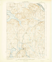
1927 · Stockholm
USGS Topo · 1:48,000

1929 · Caribou
USGS Topo · 1:48,000

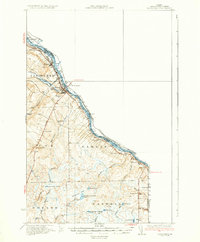
1930 · Fort Fairfield
USGS Topo · 1:48,000
1931 · Van Buren
USGS Topo · 1:48,000
1931 · Stockholm
USGS Topo · 1:62,500

1932 · Caribou
USGS Topo · 1:62,500

1933 · Fort Fairfield
USGS Topo · 1:62,500

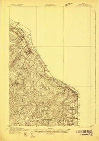
1934 · Bridgewater
USGS Topo · 1:48,000
1934 · Van Buren
USGS Topo · 1:62,500