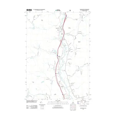
2012 Map of Woodstock
USGS Topo · Published 2012About this map
The Pemigewasset River corridor serves as the primary artery for settlement and transit in this Grafton County landscape, where the communities of Woodstock, West Thornton, and Thornton are concentrated along its banks. By the early 21st century, the area shows a clear pattern of recreation and local infrastructure, featuring the Jack O'Lantern Golf Course and Bradley Field Airport. The map documents a blend of residential pockets like Knockers Hole and natural landmarks such as Mill Brook Cascade and Mirror Lake. The terrain rises sharply from the river valley toward significant peaks including Mount Cilley, Barron Mountain, and Wanosha Mountain. This era of the landscape is defined by the proximity of high-elevation points like Blake Mountain to the river-level developments, illustrating the historical dependence of these New Hampshire mountain towns on the narrow valley floor for growth and connectivity.
Find a feature on this map
77 named features on this map. Tap any name to fly to it.
Don’t see what you’re looking for? This feature index may not catch every label — zoom into the map to look around manually.
Map Details
Editions of this 2012 Woodstock Map
This is the sole edition of this map. No revisions or reprints were ever made.
Other maps of this area

1928 · Plymouth
USGS Topo · 1:62,500

1928 · Rumney
USGS Topo · 1:62,500

1929 · Moosilauke
USGS Topo · 1:62,500

1929 · Franconia
USGS Topo · 1:62,500

1931 · Plymouth
USGS Topo · 1:62,500

1932 · Franconia
USGS Topo · 1:62,500

1932 · Rumney
USGS Topo · 1:62,500

1932 · Moosilauke
USGS Topo · 1:62,500

1949 · Portland
USGS Topo · 1:250,000

1950 · Lewiston
USGS Topo · 1:250,000