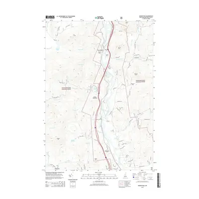
2015 Map of Woodstock
USGS Topo · Published 2015About this map
The Pemigewasset River carves a deep valley through this portion of the White Mountain National Forest, dictating the placement of settlements and transit corridors. The primary villages of Woodstock, West Thornton, and Thornton are clustered along the riverbanks, where the topography allows for development between steep rises like Barron Mtn and Mt Cilley. This 2015 data reflects the modern infrastructure of the region, including Bradley Field and several managed recreation areas, yet the landscape remains defined by its water features, from the high Elbow Pond to the Mill Brook Cascade. Local history is anchored by sites such as Pine Grove Cem, while the rugged interior is accessible via a network of forest roads including Mt Cilley Rd and the Thornton Gore Rd.
Find a feature on this map
79 named features on this map. Tap any name to fly to it.
Don’t see what you’re looking for? This feature index may not catch every label — zoom into the map to look around manually.
Map Details
Editions of this 2015 Woodstock Map
This is the sole edition of this map. No revisions or reprints were ever made.
Other maps of this area

1928 · Plymouth
USGS Topo · 1:62,500

1928 · Rumney
USGS Topo · 1:62,500

1929 · Moosilauke
USGS Topo · 1:62,500

1929 · Franconia
USGS Topo · 1:62,500

1931 · Plymouth
USGS Topo · 1:62,500

1932 · Franconia
USGS Topo · 1:62,500

1932 · Rumney
USGS Topo · 1:62,500

1932 · Moosilauke
USGS Topo · 1:62,500

1949 · Portland
USGS Topo · 1:250,000

1950 · Lewiston
USGS Topo · 1:250,000