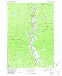
1980 Map of Woodstock
USGS Topo · Published 1981About this map
The Pemigewasset River valley serves as the primary corridor for settlement and transportation in this 1980s-era study, where the communities of Woodstock, West Thornton, and Thornton are clustered along the riverbanks. The landscape is dominated by the heavily wooded peaks of the White Mountain National Forest, including Mount Cilley and Barron Mtn, which restrict development to the narrow lowlands. This geography dictated a linear infrastructure pattern, with modern interchanges like Interchange 31 following the same valley floor that supported earlier civic life at the Thornton Ch and Thornton Sch.
Find a feature on this map
54 named features on this map. Tap any name to fly to it.
Don’t see what you’re looking for? This feature index may not catch every label — zoom into the map to look around manually.
Map Details
Editions of this 1980 Woodstock Map
2 editions found
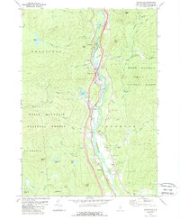
Other maps of this area

1928 · Plymouth
USGS Topo · 1:62,500

1928 · Rumney
USGS Topo · 1:62,500

1929 · Moosilauke
USGS Topo · 1:62,500

1929 · Franconia
USGS Topo · 1:62,500

1931 · Plymouth
USGS Topo · 1:62,500

1932 · Franconia
USGS Topo · 1:62,500

1932 · Rumney
USGS Topo · 1:62,500

1932 · Moosilauke
USGS Topo · 1:62,500

1949 · Portland
USGS Topo · 1:250,000

1950 · Lewiston
USGS Topo · 1:250,000