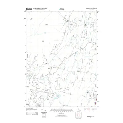
2013 Map of Woodstock
USGS Topo · Published 2013About this map
Overlook Mountain and Plattekill Mountain dominate this Catskill landscape, where the town of Woodstock sits at the foot of the peaks. This modern survey illustrates the complex water management infrastructure essential to the region, featuring Saugerties Reservoir to the northeast and the series of municipal sources including Kingston Reservoir Number One, Kingston Reservoir Number Two, and Kingston Reservoir Number Four further south.
Find a feature on this map
194 named features on this map. Tap any name to fly to it.
Don’t see what you’re looking for? This feature index may not catch every label — zoom into the map to look around manually.
Map Details
Editions of this 2013 Woodstock Map
This is the sole edition of this map. No revisions or reprints were ever made.
Other maps of this area

1892 · Kaaterskill
USGS Topo · 1:62,500

1893 · Kaaterskill
USGS Topo · 1:62,500

1894 · Kaaterskill
USGS Topo · 1:62,500

1895 · Catskill
USGS Topo · 1:62,500

1898 · Rhinebeck
USGS Topo · 1:62,500

1899 · Kaaterskill
USGS Topo · 1:62,500

1901 · Rosendale
USGS Topo · 1:62,500

1903 · Rosendale
USGS Topo · 1:62,500

1903 · Kaaterskill
USGS Topo · 1:62,500

1934 · Rhinebeck
USGS Topo · 1:48,000