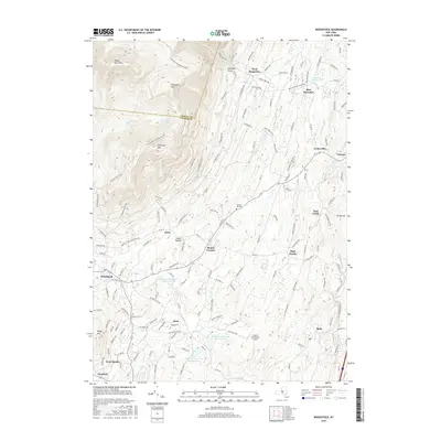
2016 Map of Woodstock
USGS Topo · Published 2016About this map
Woodstock serves as the focal point of this Catskill region landscape, where the town's residential streets give way to the rising elevations of Overlook Mtn and Ohayo Mtn. The 2016 survey illustrates a complex water management system crucial to the region, featuring Saugerties Reservoir and a series of numbered basins including Kingston Reservoir Number One, Kingston Reservoir Number Two, and Kingston Reservoir Number Four. These water bodies are connected by the winding course of the Saw Kill.
Find a feature on this map
136 named features on this map. Tap any name to fly to it.
Don’t see what you’re looking for? This feature index may not catch every label — zoom into the map to look around manually.
Map Details
Editions of this 2016 Woodstock Map
This is the sole edition of this map. No revisions or reprints were ever made.
Other maps of this area

1892 · Kaaterskill
USGS Topo · 1:62,500

1893 · Kaaterskill
USGS Topo · 1:62,500

1894 · Kaaterskill
USGS Topo · 1:62,500

1895 · Catskill
USGS Topo · 1:62,500

1898 · Rhinebeck
USGS Topo · 1:62,500

1899 · Kaaterskill
USGS Topo · 1:62,500

1901 · Rosendale
USGS Topo · 1:62,500

1903 · Rosendale
USGS Topo · 1:62,500

1903 · Kaaterskill
USGS Topo · 1:62,500

1934 · Rhinebeck
USGS Topo · 1:48,000