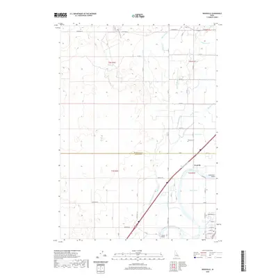
2020 Map of Woodville
USGS Topo · Published 2020About this map
Woodville and its surrounding agricultural landscape are defined by a sophisticated network of irrigation channels and the nearby Snake River. The settlement pattern in this corner of Idaho reflects a heavy reliance on water management, with the Great Western Canal, Bain Canal, and Martin Canal dissecting the terrain to support local farming. The Snake River Valley provides a distinct geographic backdrop, while local landmarks such as the Shelley Bridge and Woodville Cem offer specific points of interest for genealogical and local history research. The map also traces numerous laterals and ditches, including the Shull Lateral, Olson Lateral, and Waste Ditch, which illustrate the complex engineering required to cultivate this region. This modern topographic view captures the enduring rural character of the area as it transitioned into the 2020s, maintaining its historical agricultural roots.
Find a feature on this map
46 named features on this map. Tap any name to fly to it.
Don’t see what you’re looking for? This feature index may not catch every label — zoom into the map to look around manually.
Map Details
Editions of this 2020 Woodville Map
This is the sole edition of this map. No revisions or reprints were ever made.
Other maps of this area

1948 · Woodville
USGS Topo · 1:24,000

1948 · Idaho Falls North
USGS Topo · 1:24,000

1948 · Idaho Falls South
USGS Topo · 1:24,000

1949 · Idaho Falls North
USGS Topo · 1:24,000

1949 · Roberts
USGS Topo · 1:62,500

1949 · Shattuck Butte
USGS Topo · 1:24,000

1950 · Shattuck Butte
USGS Topo · 1:24,000

1950 · Woodville
USGS Topo · 1:24,000

1950 · Idaho Falls South
USGS Topo · 1:24,000

1950 · Goshen
USGS Topo · 1:24,000