
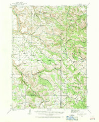
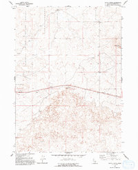
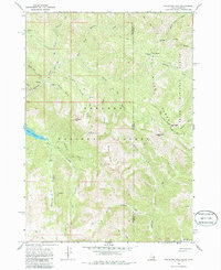
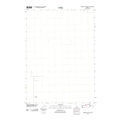
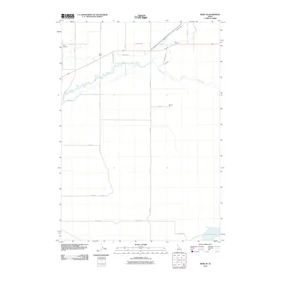
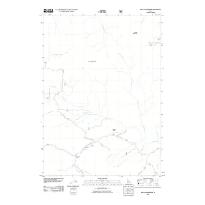
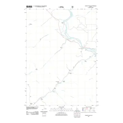
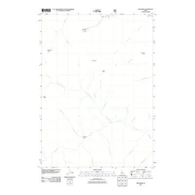
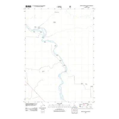
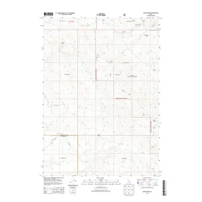
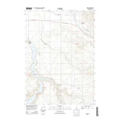
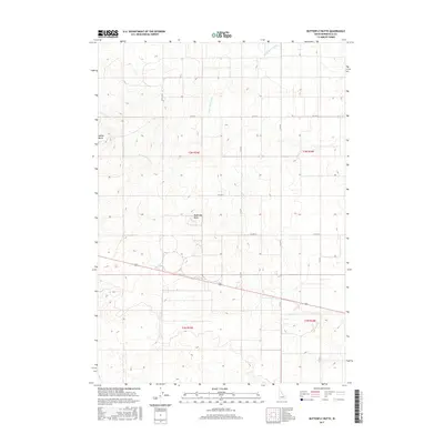
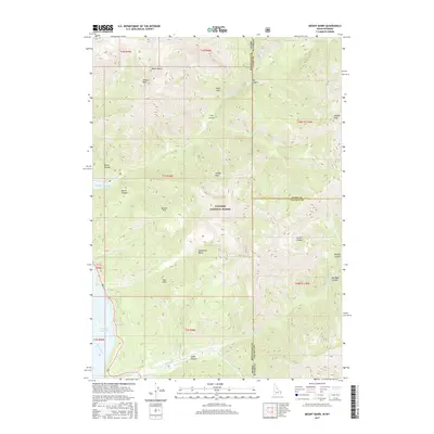
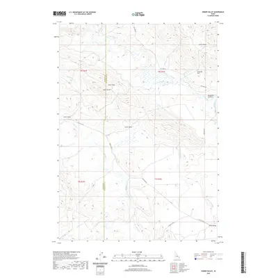
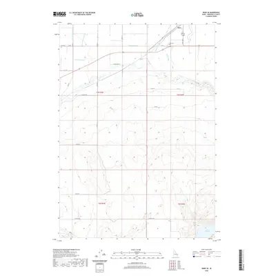
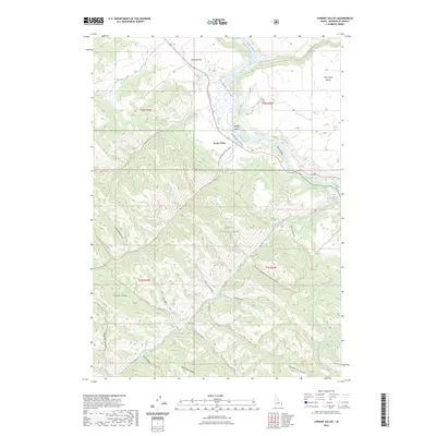
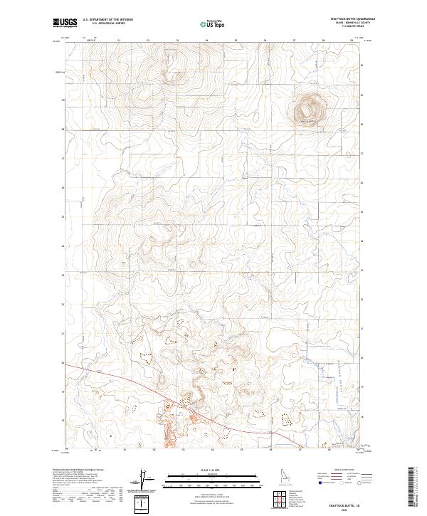
1950 Map of Shattuck Butte
USGS Topo · Published 1950About this map
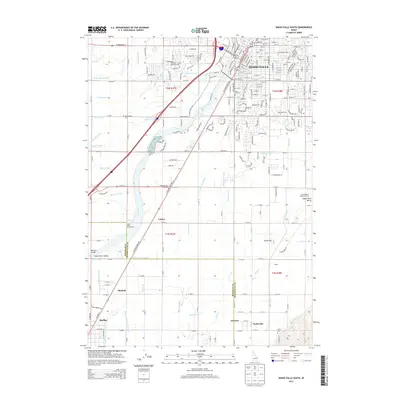
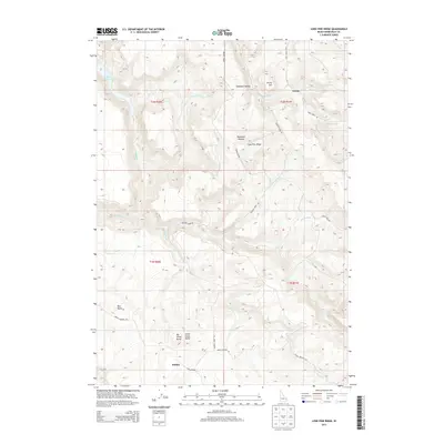
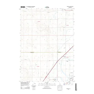
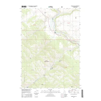
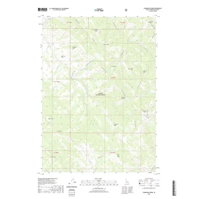
Oakland Valley and its surrounding agricultural network are the focus of this 1950 survey, conducted just after the war years. The landscape is defined by an intricate system of water management essential for high-desert farming, including the Oakland Canal, Martin Canal, and several smaller feeders like the Hayes Lateral and Sinkhole Lateral. A prominent flume and a lone Windmill further illustrate the mid-century reliance on mechanical irrigation and drainage to sustain the local economy.
Find a feature on this map
14 named features on this map. Tap any name to fly to it.
Don’t see what you’re looking for? This feature index may not catch every label — zoom into the map to look around manually.
Map Details
Editions of this 1950 Shattuck Butte Map
This is the sole edition of this map. No revisions or reprints were ever made.
Historical Maps of Bonneville County Through Time
212 maps found
1924 Hell Creek
Bonneville County, ID

1926 Hell Creek
Bonneville County, ID

1943 Garns Mtn
Bonneville County, ID

1946 Garns Mtn
Bonneville County, ID

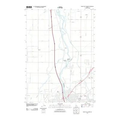
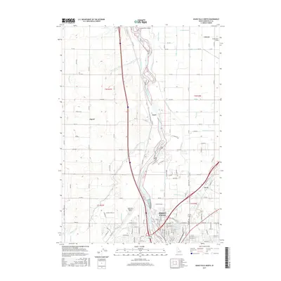
1948 Idaho Falls North
Bonneville County, ID

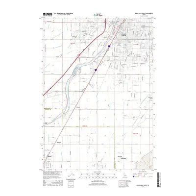
1948 Idaho Falls South
Bonneville County, ID

1948 Woodville
Bonneville County, ID

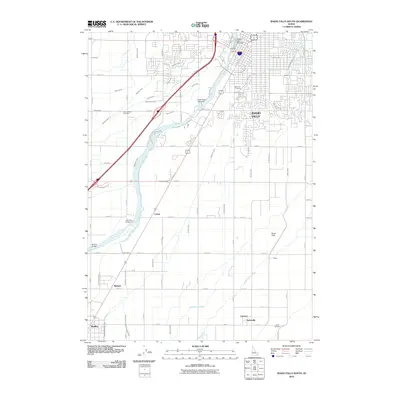
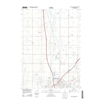
1949 Idaho Falls North
Bonneville County, ID
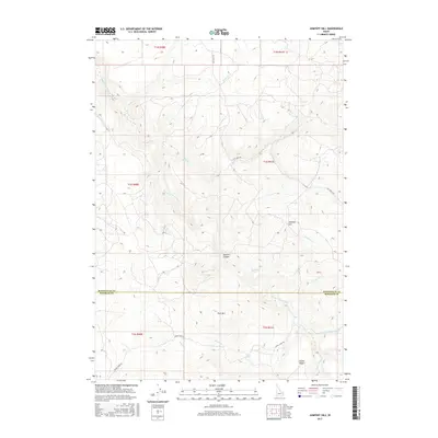
1949 Shattuck Butte
Bonneville County, ID

1950 Idaho Falls South
Bonneville County, ID
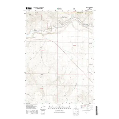
1950 Rigby SE
Bonneville County, ID
1950 Shattuck Butte
Bonneville County, ID

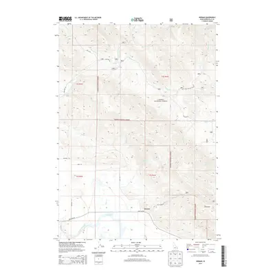
1950 Woodville
Bonneville County, ID

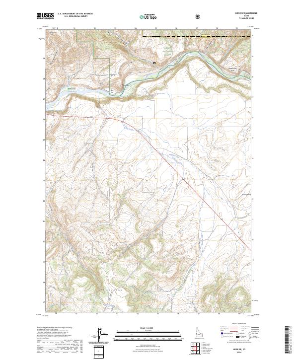
1951 Heise SE
Bonneville County, ID
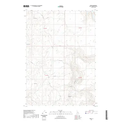
1951 Poplar
Bonneville County, ID

1951 Rigby SE
Bonneville County, ID

1959 Woodville
Bonneville County, ID

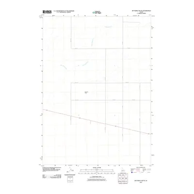
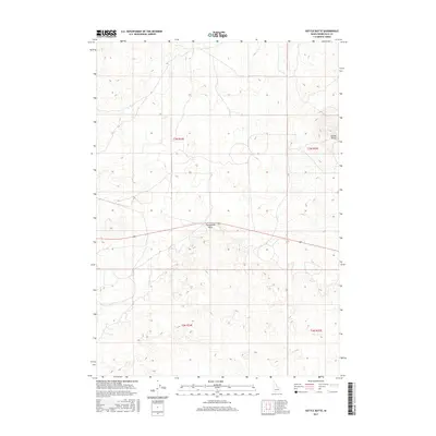
1964 Butterfly Butte
Bonneville County, ID
1964 Kettle Butte
Bonneville County, ID

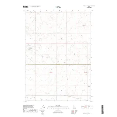
1964 Morgans Pasture NE
Bonneville County, ID

1966 Bear Island
Bonneville County, ID
1966 Big Elk Mtn
Bonneville County, ID

1966 Caribou mtn
Bonneville County, ID
1966 Commissary Ridge
Bonneville County, ID

1966 Conant Valley
Bonneville County, ID
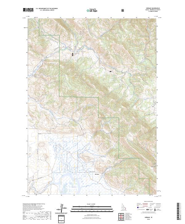
1966 Herman
Bonneville County, ID

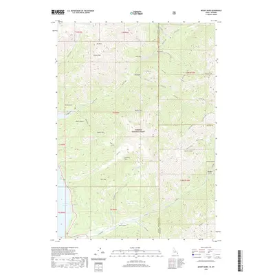
1966 Mount Baird
Bonneville County, ID

1966 Palisades Dam
Bonneville County, ID
1966 Palisades Peak
Bonneville County, ID
1966 Poker Peak
Bonneville County, ID

1966 Red Ridge
Bonneville County, ID
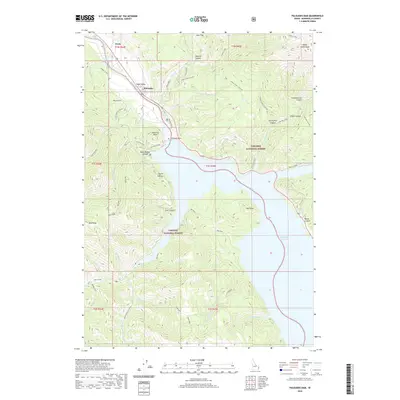
1966 Thompson Peak
Bonneville County, ID

1966 Tincup Mtn
Bonneville County, ID
1966 Wheaton Mountain
Bonneville County, ID

1976 Idaho Falls South
Bonneville County, ID

1977 Stouts Mtn
Bonneville County, ID

1981 Castle Rock
Bonneville County, ID

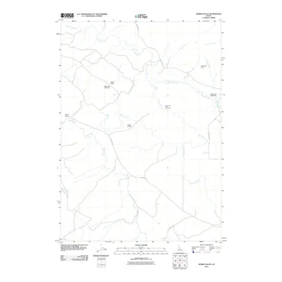
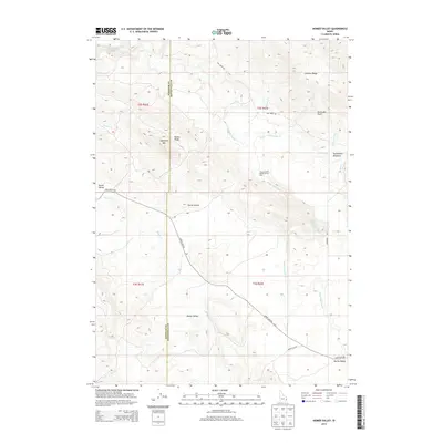
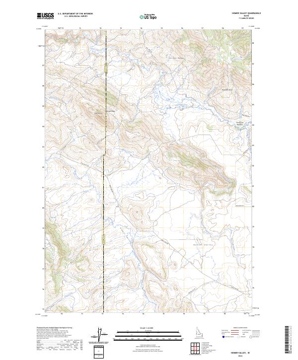
1981 Homer Valley
Bonneville County, ID

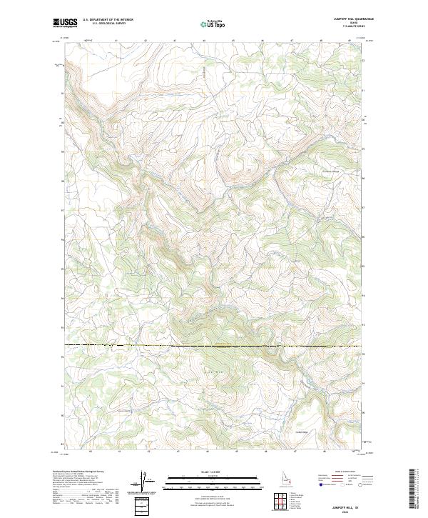
1981 Jumpoff Hill
Bonneville County, ID

1981 Little Valley Hills
Bonneville County, ID

1981 Lone Pine Ridge
Bonneville County, ID

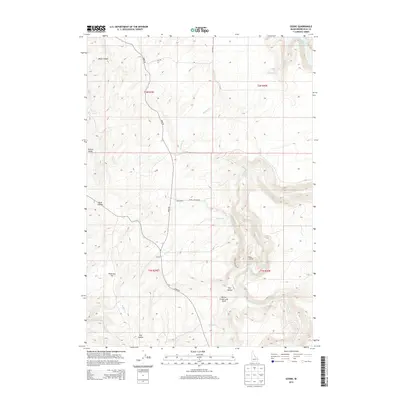
1981 Ozone
Bonneville County, ID

1981 Point Lookout
Bonneville County, ID

1986 Palisades
Bonneville County, ID

1996 Palisades Peak
Bonneville County, ID
2010 Butterfly Butte
Bonneville County, ID
2010 Homer Valley
Bonneville County, ID
2010 Idaho Falls North
Bonneville County, ID
2010 Idaho Falls South
Bonneville County, ID
2010 Jumpoff Hill
Bonneville County, ID
2010 Kettle Butte
Bonneville County, ID
2010 Little Valley Hills
Bonneville County, ID
2010 Lone Pine Ridge
Bonneville County, ID
2010 Morgans Pasture NE
Bonneville County, ID
2010 Morgans Pasture NW
Bonneville County, ID
2010 Ozone
Bonneville County, ID
2010 Poplar
Bonneville County, ID
2010 Rigby SE
Bonneville County, ID
2010 Shattuck Butte
Bonneville County, ID
2010 Woodville
Bonneville County, ID
2011 Bear Island
Bonneville County, ID
2011 Big Elk Mountain
Bonneville County, ID
2011 Caribou Mountain
Bonneville County, ID
2011 Castle Rock
Bonneville County, ID
2011 Commissary Ridge
Bonneville County, ID
2011 Conant Valley
Bonneville County, ID
2011 Heise SE
Bonneville County, ID
2011 Herman
Bonneville County, ID
2011 Mount Baird
Bonneville County, ID
2011 Palisades Dam
Bonneville County, ID
2011 Palisades Peak
Bonneville County, ID
2011 Point Lookout
Bonneville County, ID
2011 Poker Peak
Bonneville County, ID
2011 Red Ridge
Bonneville County, ID
2011 Stouts Mountain
Bonneville County, ID
2011 Thompson Peak
Bonneville County, ID
2011 Tincup Mountain
Bonneville County, ID
2011 Wheaton Mountain
Bonneville County, ID
2013 Bear Island
Bonneville County, ID
2013 Big Elk Mountain
Bonneville County, ID
2013 Butterfly Butte
Bonneville County, ID
2013 Caribou Mountain
Bonneville County, ID
2013 Castle Rock
Bonneville County, ID
2013 Commissary Ridge
Bonneville County, ID
2013 Conant Valley
Bonneville County, ID
2013 Heise SE
Bonneville County, ID
2013 Herman
Bonneville County, ID
2013 Homer Valley
Bonneville County, ID
2013 Idaho Falls North
Bonneville County, ID
2013 Idaho Falls South
Bonneville County, ID
2013 Jumpoff Hill
Bonneville County, ID
2013 Kettle Butte
Bonneville County, ID
2013 Little Valley Hills
Bonneville County, ID
2013 Lone Pine Ridge
Bonneville County, ID
2013 Morgans Pasture NE
Bonneville County, ID
2013 Morgans Pasture NW
Bonneville County, ID
2013 Mount Baird
Bonneville County, ID
2013 Ozone
Bonneville County, ID
2013 Palisades Dam
Bonneville County, ID
2013 Point Lookout
Bonneville County, ID
2013 Poker Peak
Bonneville County, ID
2013 Poplar
Bonneville County, ID
2013 Red Ridge
Bonneville County, ID
2013 Rigby SE
Bonneville County, ID
2013 Shattuck Butte
Bonneville County, ID
2013 Stouts Mountain
Bonneville County, ID
2013 Thompson Peak
Bonneville County, ID
2013 Tincup Mountain
Bonneville County, ID
2013 Wheaton Mountain
Bonneville County, ID
2013 Woodville
Bonneville County, ID
2015 Palisades Peak
Bonneville County, ID
2017 Bear Island
Bonneville County, ID
2017 Big Elk Mountain
Bonneville County, ID
2017 Butterfly Butte
Bonneville County, ID
2017 Caribou Mountain
Bonneville County, ID
2017 Castle Rock
Bonneville County, ID
2017 Commissary Ridge
Bonneville County, ID
2017 Conant Valley
Bonneville County, ID
2017 Heise SE
Bonneville County, ID
2017 Herman
Bonneville County, ID
2017 Homer Valley
Bonneville County, ID
2017 Idaho Falls North
Bonneville County, ID
2017 Idaho Falls South
Bonneville County, ID
2017 Jumpoff Hill
Bonneville County, ID
2017 Kettle Butte
Bonneville County, ID
2017 Little Valley Hills
Bonneville County, ID
2017 Lone Pine Ridge
Bonneville County, ID
2017 Morgans Pasture NE
Bonneville County, ID
2017 Morgans Pasture NW
Bonneville County, ID
2017 Mount Baird
Bonneville County, ID
2017 Ozone
Bonneville County, ID
2017 Palisades Dam
Bonneville County, ID
2017 Palisades Peak
Bonneville County, ID
2017 Point Lookout
Bonneville County, ID
2017 Poker Peak
Bonneville County, ID
2017 Poplar
Bonneville County, ID
2017 Red Ridge
Bonneville County, ID
2017 Rigby SE
Bonneville County, ID
2017 Shattuck Butte
Bonneville County, ID
2017 Stouts Mountain
Bonneville County, ID
2017 Thompson Peak
Bonneville County, ID
2017 Tincup Mountain
Bonneville County, ID
2017 Wheaton Mountain
Bonneville County, ID
2017 Woodville
Bonneville County, ID
2020 Bear Island
Bonneville County, ID
2020 Big Elk Mountain
Bonneville County, ID
2020 Butterfly Butte
Bonneville County, ID
2020 Caribou Mountain
Bonneville County, ID
2020 Castle Rock
Bonneville County, ID
2020 Commissary Ridge
Bonneville County, ID
2020 Conant Valley
Bonneville County, ID
2020 Heise SE
Bonneville County, ID
2020 Herman
Bonneville County, ID
2020 Homer Valley
Bonneville County, ID
2020 Idaho Falls North
Bonneville County, ID
2020 Idaho Falls South
Bonneville County, ID
2020 Jumpoff Hill
Bonneville County, ID
2020 Kettle Butte
Bonneville County, ID
2020 Little Valley Hills
Bonneville County, ID
2020 Lone Pine Ridge
Bonneville County, ID
2020 Morgans Pasture NE
Bonneville County, ID
2020 Morgans Pasture NW
Bonneville County, ID
2020 Mount Baird
Bonneville County, ID
2020 Ozone
Bonneville County, ID
2020 Palisades Dam
Bonneville County, ID
2020 Palisades Peak
Bonneville County, ID
2020 Point Lookout
Bonneville County, ID
2020 Poker Peak
Bonneville County, ID
2020 Poplar
Bonneville County, ID
2020 Red Ridge
Bonneville County, ID
2020 Rigby SE
Bonneville County, ID
2020 Shattuck Butte
Bonneville County, ID
2020 Stouts Mountain
Bonneville County, ID
2020 Thompson Peak
Bonneville County, ID
2020 Tincup Mountain
Bonneville County, ID
2020 Wheaton Mountain
Bonneville County, ID
2020 Woodville
Bonneville County, ID
2023 Big Elk Mountain
Bonneville County, ID
2023 Butterfly Butte
Bonneville County, ID
2023 Caribou Mountain
Bonneville County, ID
2023 Castle Rock
Bonneville County, ID
2023 Conant Valley
Bonneville County, ID

2023 Idaho Falls North
Bonneville County, ID
2023 Kettle Butte
Bonneville County, ID
2023 Morgans Pasture NE
Bonneville County, ID
2023 Morgans Pasture NW
Bonneville County, ID
2023 Point Lookout
Bonneville County, ID
2023 Poker Peak
Bonneville County, ID
2023 Shattuck Butte
Bonneville County, ID
2023 Stouts Mountain
Bonneville County, ID
2023 Tincup Mountain
Bonneville County, ID
2024 Bear Island
Bonneville County, ID
2024 Commissary Ridge
Bonneville County, ID
2024 Conant Valley
Bonneville County, ID
2024 Heise SE
Bonneville County, ID
2024 Herman
Bonneville County, ID
2024 Homer Valley
Bonneville County, ID

2024 Idaho Falls South
Bonneville County, ID
2024 Jumpoff Hill
Bonneville County, ID
2024 Little Valley Hills
Bonneville County, ID

2024 Lone Pine Ridge
Bonneville County, ID
2024 Mount Baird
Bonneville County, ID
2024 Ozone
Bonneville County, ID
2024 Palisades Dam
Bonneville County, ID
2024 Palisades Peak
Bonneville County, ID
2024 Poker Peak
Bonneville County, ID
2024 Poplar
Bonneville County, ID
2024 Red Ridge
Bonneville County, ID
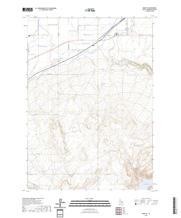
2024 Rigby SE
Bonneville County, ID

2024 Thompson Peak
Bonneville County, ID
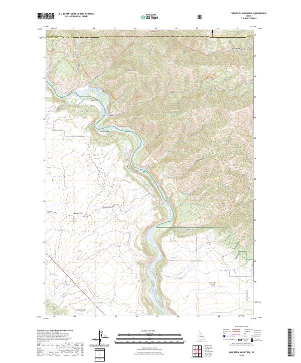
2024 Wheaton Mountain
Bonneville County, ID
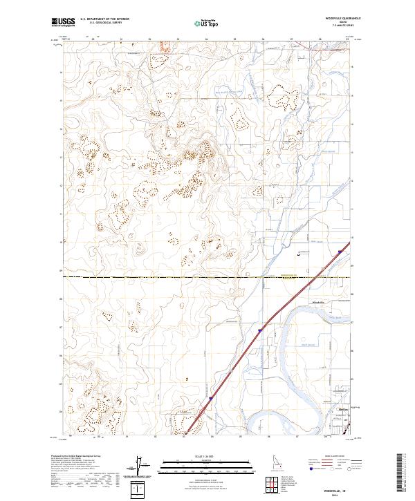
2024 Woodville
Bonneville County, ID