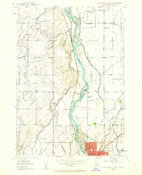
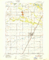
1948 Map of Idaho Falls North
USGS Topo · Published 1962About this map
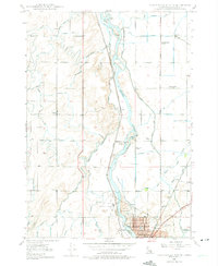
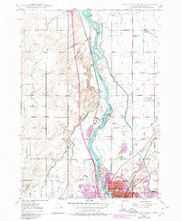
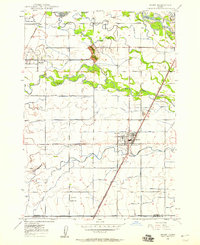
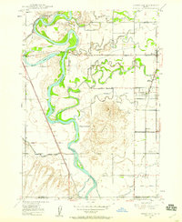
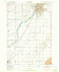
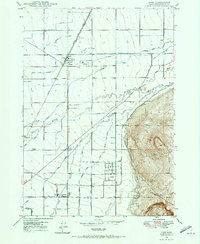
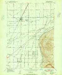
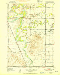
The Snake River carves through this late 1940s landscape, serving as the central artery for a complex network of irrigation that defines local agriculture. This survey captures Idaho Falls during a period of post-war expansion, with the city limits reaching toward the Idaho Falls Municipal Airport and the Municipal Golf Course. The density of the canal system, including the Great Western Canal and Osgood Canal, illustrates the intensive transformation of the high desert into productive farmland. Smaller outlying settlements like Coltman, Payne, and Osgood anchor the rural sections, supported by local institutions such as the Coltman Ward Church and Fairview School. The infrastructure of the era is clearly visible, from the Idaho Falls Municipal Power Plant along the river to the Union Pacific tracks and the Yellowstone Highway facilitating regional transport and trade.
Find a feature on this map
64 named features on this map. Tap any name to fly to it.
Don’t see what you’re looking for? This feature index may not catch every label — zoom into the map to look around manually.
Map Details
Editions of this 1948 Idaho Falls North Map
4 editions found

Other maps of this area

1924 · Ammon
USGS Topo · 1:62,500

1948 · Woodville
USGS Topo · 1:24,000
1948 · Rigby
USGS Topo · 1:24,000
1948 · Lewisville
USGS Topo · 1:24,000
1948 · Idaho Falls South
USGS Topo · 1:24,000
1948 · Ucon
USGS Topo · 1:24,000
1949 · Ucon
USGS Topo · 1:24,000

1949 · Idaho Falls North
USGS Topo · 1:24,000
1949 · Rigby
USGS Topo · 1:24,000
1949 · Lewisville
USGS Topo · 1:24,000