
1948 Map of Ucon
USGS Topo · Published 1973About this map
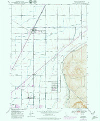
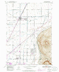
Union Pacific rail lines and a complex network of irrigation ditches define the landscape of eastern Idaho in the years following World War II. The map details the engineered hydrology of the upper Snake River Plain, where the Farmers Friend Canal, Billman Canal, and South Branch Harrison Canal divert water across the plains. Rural life is anchored by small community hubs such as Ucon, Iona, and Lincoln, which grew alongside the transport corridors and waterways. Near the Lincoln Cem, a solitary Stack stands as a vertical landmark against the terrain. Educational and civic history is preserved through the locations of the St Leon School and the outlying settlement of Beachs Corner. The transition from the flat agricultural valley to the rising Hillside to the east provides clear context for the placement of early homesteads and ditches like the Boomer Ditch and Norton Ditch.
Find a feature on this map
41 named features on this map. Tap any name to fly to it.
Don’t see what you’re looking for? This feature index may not catch every label — zoom into the map to look around manually.
Map Details
Editions of this 1948 Ucon Map
3 editions found
Other maps of this area

1924 · Ammon
USGS Topo · 1:62,500

1948 · Rigby
USGS Topo · 1:24,000

1948 · Lewisville
USGS Topo · 1:24,000

1948 · Idaho Falls North
USGS Topo · 1:24,000

1948 · Idaho Falls South
USGS Topo · 1:24,000

1949 · Ucon
USGS Topo · 1:24,000

1949 · Idaho Falls North
USGS Topo · 1:24,000

1949 · Rigby
USGS Topo · 1:24,000

1949 · Lewisville
USGS Topo · 1:24,000

1949 · Roberts
USGS Topo · 1:62,500