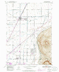
1948 Map of Ucon
USGS Topo · Published 1986About this map
Agricultural development and water management define this portion of the Upper Snake River Valley, where an intricate network of irrigation projects like the Centerville Canal and Farmers Friend Canal transformed the arid landscape. Small settlements and rural hubs serve the farming community, with Ucon and Iona showing established grids while outlying areas like Milo and Beachs Corner represent important local intersections of the mid-20th century. The Union Pacific railroad corridor runs diagonally through the territory, providing the essential shipping link for the region's agricultural output.
Find a feature on this map
31 named features on this map. Tap any name to fly to it.
Don’t see what you’re looking for? This feature index may not catch every label — zoom into the map to look around manually.
Map Details
Editions of this 1948 Ucon Map
3 editions found
Other maps of this area

1924 · Ammon
USGS Topo · 1:62,500

1948 · Rigby
USGS Topo · 1:24,000

1948 · Lewisville
USGS Topo · 1:24,000

1948 · Idaho Falls North
USGS Topo · 1:24,000

1948 · Idaho Falls South
USGS Topo · 1:24,000

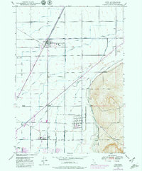
1948 · Ucon
USGS Topo · 1:24,000

1949 · Ucon
USGS Topo · 1:24,000

1949 · Idaho Falls North
USGS Topo · 1:24,000

1949 · Rigby
USGS Topo · 1:24,000

1949 · Lewisville
USGS Topo · 1:24,000