
1949 Map of Rigby
USGS Topo · Published 1949About this map
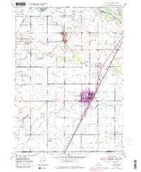
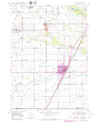
Rigby and Menan anchor this post-war landscape in Jefferson County, which is defined by an intricate network of irrigation engineering. The Snake River and its accompanying Annis Slough feed an extensive system of waterways, including the Lewisville Canal, Missionary Canal, and Burgess Canal, illustrating the vital importance of water rights to this agricultural region. The prominent Little Buttes rise above the riverbed, providing a rare topographical break in the valley floor.
Find a feature on this map
35 named features on this map. Tap any name to fly to it.
Don’t see what you’re looking for? This feature index may not catch every label — zoom into the map to look around manually.
Map Details
Editions of this 1949 Rigby Map
3 editions found
Other maps of this area

1948 · Rigby
USGS Topo · 1:24,000

1948 · Lewisville
USGS Topo · 1:24,000

1948 · Idaho Falls North
USGS Topo · 1:24,000

1948 · Ucon
USGS Topo · 1:24,000

1949 · Ucon
USGS Topo · 1:24,000

1949 · Idaho Falls North
USGS Topo · 1:24,000

1949 · Rexburg
USGS Topo · 1:24,000

1949 · Lewisville
USGS Topo · 1:24,000

1949 · Roberts
USGS Topo · 1:62,500

1950 · Ririe
USGS Topo · 1:24,000