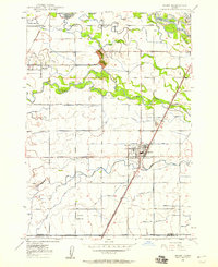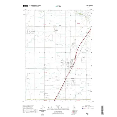
1949 Map of Rigby
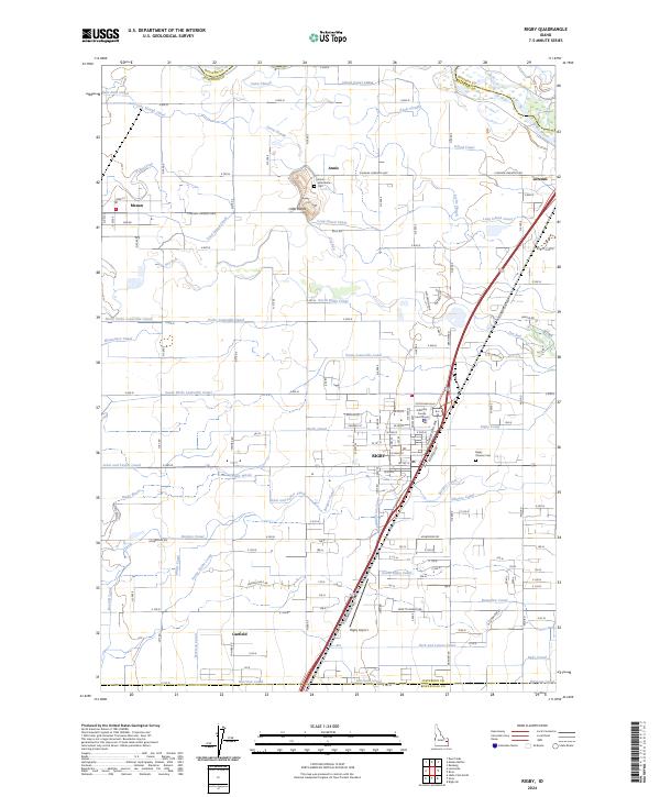
USGS Topo · Published 1979About this map
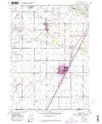
The Snake River dominates the northern landscape of this Jefferson County survey, carving a complex path marked by Scotts Slough and Annis Slough. The town of Rigby serves as the regional hub, centered at the intersection of the Union Pacific railroad and the Yellowstone Highway. This 1940s mapping, updated with late-1970s urban revisions, reveals an intricate network of irrigation infrastructure essential to the area's agricultural identity. A vast grid of canals, including the Rigby Canal, Burgess Canal, and Missionary Canal, crisscrosses the terrain to manage water from the river. Smaller settlements like Menan and Annis are surrounded by these vital waterways, while the Little Buttes rise as a distinct geological landmark near the center of the sheet. Farther south, the Garfield Sch stands near the Bonneville County line, indicating the rural school system of the mid-20th century.
Find a feature on this map
38 named features on this map. Tap any name to fly to it.
Don’t see what you’re looking for? This feature index may not catch every label — zoom into the map to look around manually.
Map Details
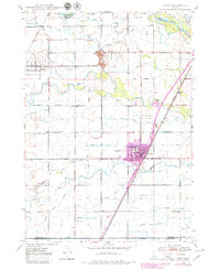
Editions of this 1949 Rigby Map
3 editions found
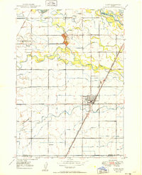
Historical Maps of Rigby Through Time
8 maps found