
1949 Map of Roberts
USGS Topo · Published 1966About this map
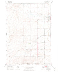
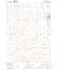
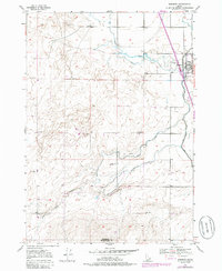
The settlement of Roberts serves as the primary hub of this 1940s landscape, situated where the Union Pacific railroad tracks run parallel to the edge of Market Lake. The surrounding terrain in the Upper Snake River Valley reveals a complex system of water management essential for high-desert agriculture, including the Bell Canal, Larben Canal, and several named irrigation channels like Poitevin Ditch.
Find a feature on this map
16 named features on this map. Tap any name to fly to it.
Don’t see what you’re looking for? This feature index may not catch every label — zoom into the map to look around manually.
Map Details
Editions of this 1949 Roberts Map
4 editions found
Other maps of this area

1948 · Lewisville
USGS Topo · 1:24,000

1948 · Idaho Falls North
USGS Topo · 1:24,000

1949 · Idaho Falls North
USGS Topo · 1:24,000

1949 · Lewisville
USGS Topo · 1:24,000

1949 · Roberts
USGS Topo · 1:62,500

1949 · Shattuck Butte
USGS Topo · 1:24,000

1950 · Shattuck Butte
USGS Topo · 1:24,000

1950 · Roberts
USGS Topo · 1:24,000

1955 · Idaho Falls
USGS Topo · 1:250,000

1958 · Idaho Falls
USGS Topo · 1:250,000