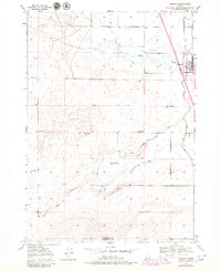
1949 Map of Roberts
USGS Topo · Published 1979About this map
The town of Roberts serves as the focal point for this Eastern Idaho landscape, situated along the Union Pacific rail line. The terrain is defined by a sophisticated network of irrigation and water management, featuring the Taylor Canal, Poitevin Ditch, and Mc Carthy Ditch. These waterways, alongside features like a Siphon and multiple Pumps, reveal the intensive agricultural development required to cultivate the Snake River Plain during the mid-20th century.
Find a feature on this map
16 named features on this map. Tap any name to fly to it.
Don’t see what you’re looking for? This feature index may not catch every label — zoom into the map to look around manually.
Map Details
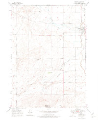
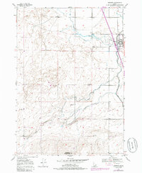
Editions of this 1949 Roberts Map
4 editions found
Other maps of this area

1948 · Lewisville
USGS Topo · 1:24,000

1948 · Idaho Falls North
USGS Topo · 1:24,000

1949 · Idaho Falls North
USGS Topo · 1:24,000

1949 · Lewisville
USGS Topo · 1:24,000

1949 · Roberts
USGS Topo · 1:62,500

1949 · Roberts
USGS Topo · 1:24,000

1949 · Shattuck Butte
USGS Topo · 1:24,000

1950 · Shattuck Butte
USGS Topo · 1:24,000

1950 · Roberts
USGS Topo · 1:24,000

1955 · Idaho Falls
USGS Topo · 1:250,000