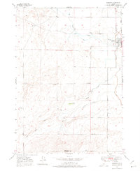
1949 Map of Roberts
USGS Topo · Published 1975About this map
The town of Roberts serves as the focal point for this 1940s landscape where agriculture and transport intersect in eastern Idaho. The Union Pacific railroad line and U.S. 91 parallel each other along the eastern edge, providing the primary lifelines for the region. The map reveals an intricate water management system essential for high-desert farming, featuring the Market Lake Canal, Poitevin Ditch, and Mc Carthy Ditch. These man-made channels diverge from Taylor Slough, carving through a terrain marked by distinctive volcanic features like Kettle Butte and a network of siphons and drains.
Find a feature on this map
17 named features on this map. Tap any name to fly to it.
Don’t see what you’re looking for? This feature index may not catch every label — zoom into the map to look around manually.
Map Details
Editions of this 1949 Roberts Map
4 editions found
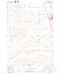
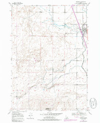
Other maps of this area

1948 · Lewisville
USGS Topo · 1:24,000

1948 · Idaho Falls North
USGS Topo · 1:24,000

1949 · Idaho Falls North
USGS Topo · 1:24,000

1949 · Lewisville
USGS Topo · 1:24,000

1949 · Roberts
USGS Topo · 1:62,500

1949 · Roberts
USGS Topo · 1:24,000

1949 · Shattuck Butte
USGS Topo · 1:24,000

1950 · Shattuck Butte
USGS Topo · 1:24,000

1950 · Roberts
USGS Topo · 1:24,000

1955 · Idaho Falls
USGS Topo · 1:250,000