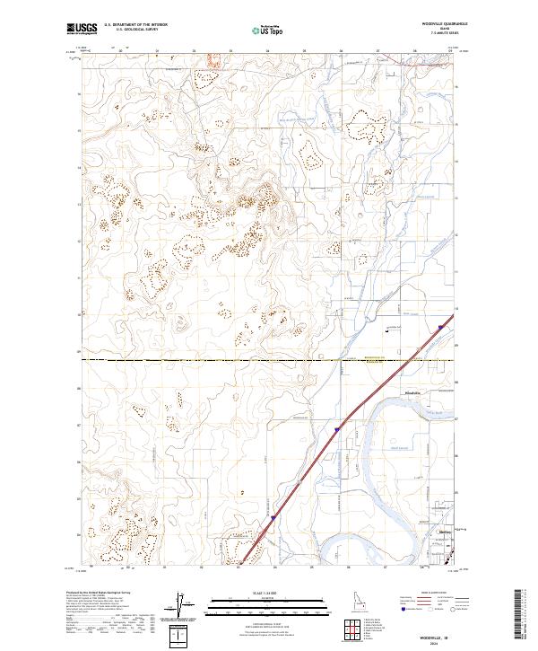
2024 Map of Woodville
USGS Topo · Published 2024About this map
Snake River waters define the landscape of this Idaho quadrangle, feeding a complex network of irrigation infrastructure essential to the region's agriculture. The settlement of Woodville and the northern portion of Shelley serve as local hubs, connected by a grid of rural roads and canals that dictate the flow of both water and commerce. The Woodville Canal, Great Western Canal, and Sidehill Canal weave through the terrain, illustrating the sophisticated water management systems that transformed this part of Bonneville and Bingham Counties.
Find a feature on this map
63 named features on this map. Tap any name to fly to it.
Don’t see what you’re looking for? This feature index may not catch every label — zoom into the map to look around manually.
Map Details
Editions of this 2024 Woodville Map
This is the sole edition of this map. No revisions or reprints were ever made.
Other maps of this area

1948 · Woodville
USGS Topo · 1:24,000

1948 · Idaho Falls North
USGS Topo · 1:24,000

1948 · Idaho Falls South
USGS Topo · 1:24,000

1949 · Idaho Falls North
USGS Topo · 1:24,000

1949 · Roberts
USGS Topo · 1:62,500

1949 · Shattuck Butte
USGS Topo · 1:24,000

1950 · Shattuck Butte
USGS Topo · 1:24,000

1950 · Woodville
USGS Topo · 1:24,000

1950 · Idaho Falls South
USGS Topo · 1:24,000

1950 · Goshen
USGS Topo · 1:24,000