Loading...
Loading map...2024 Map of Woodville
USGS Topo · Published 2024About this map
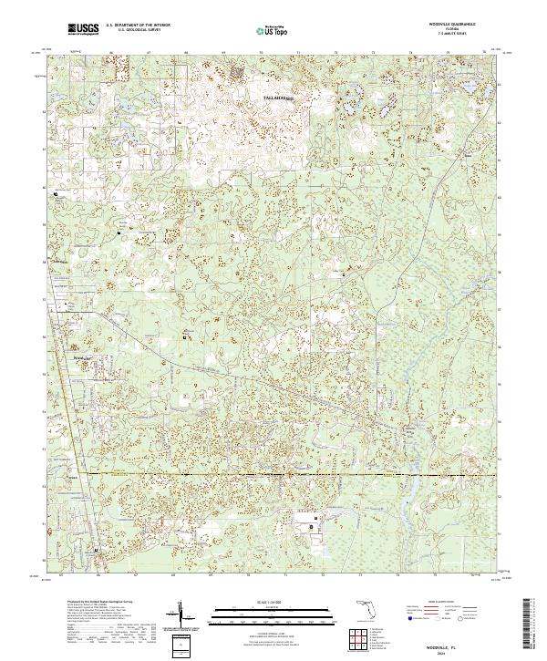
The Saint Marks River and its intricate karst hydrology define this corridor south of Tallahassee along the Leon and Wakulla County line. The map captures a landscape where water frequently disappears and re-emerges, evidenced by Natural Bridge Spring, Natural Bridge Sink, and Rhodes Springs. These geological features shaped early settlement patterns, concentrating community life around the village of Woodville and smaller locales like Vereen and Lutterloh.
Find a feature on this map
108 named features on this map. Tap any name to fly to it.
Don’t see what you’re looking for? This feature index may not catch every label — zoom into the map to look around manually.
Map Details
Date Portrayed2024
Date Published2024
PublisherU.S. Geological Survey
Map TypeTopographic
Scale1:24000
Physical Dimensions24 x 29 inches
Editions of this 2024 Woodville Map
This is the sole edition of this map. No revisions or reprints were ever made.
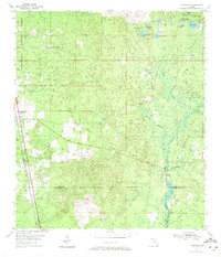
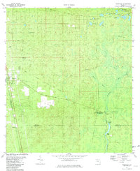
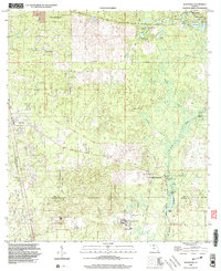
Historical Maps of Tallahassee Through Time
4 maps found
Featured Locations
Source Details
SourceU.S. Geological Survey
CopyrightPublic Domain