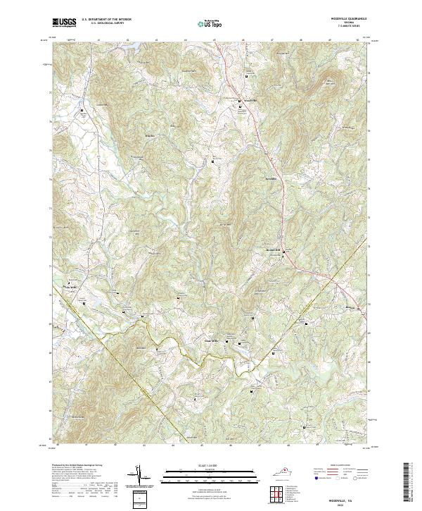
2022 Map of Woodville
USGS Topo · Published 2022About this map
Woodville and surrounding communities in Rappahannock County appear here at the intersection of rural agriculture and the rolling foothills of the Blue Ridge. The landscape is defined by its numerous family burial grounds and small hamlets, such as Slate Mills and Peola Mills, which were historically anchored by river-powered industry. The meeting point of three counties—Rappahannock, Madison, and Culpeper—is marked by the courses of the Hughes River and Hazel River.
Find a feature on this map
124 named features on this map. Tap any name to fly to it.
Don’t see what you’re looking for? This feature index may not catch every label — zoom into the map to look around manually.
Map Details
Editions of this 2022 Woodville Map
This is the sole edition of this map. No revisions or reprints were ever made.
Historical Maps of Round Hill Through Time
9 maps found
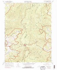
1965 Thornton Gap
Rappahannock County, VA
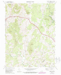
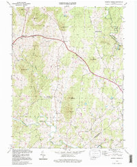
1971 Massies Corner
Rappahannock County, VA
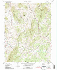
1971 Woodville
Rappahannock County, VA
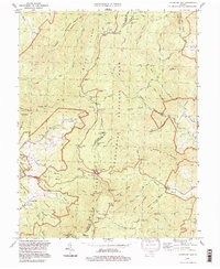
1994 Massies Corner
Rappahannock County, VA
1994 Thornton Gap
Rappahannock County, VA
1994 Woodville
Rappahannock County, VA
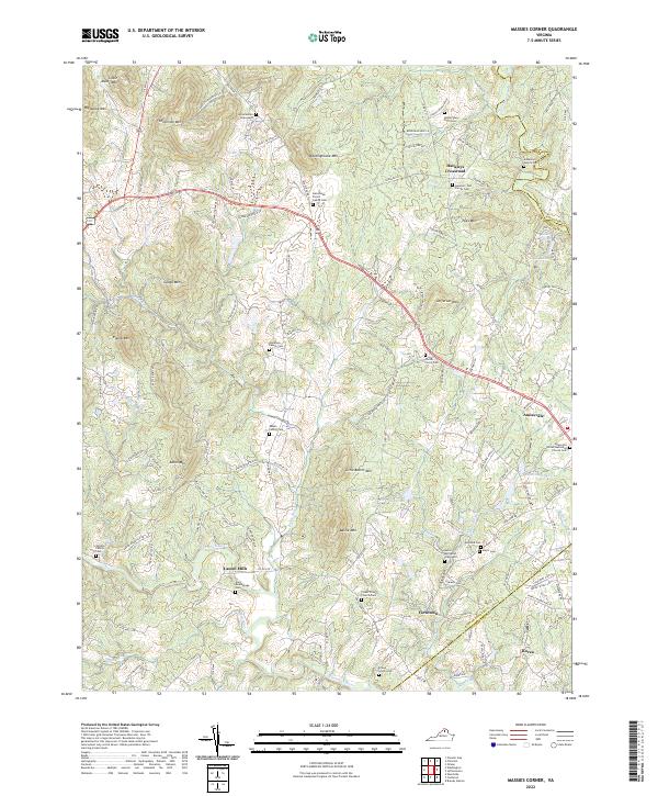
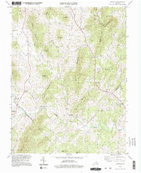
2022 Massies Corner
Rappahannock County, VA
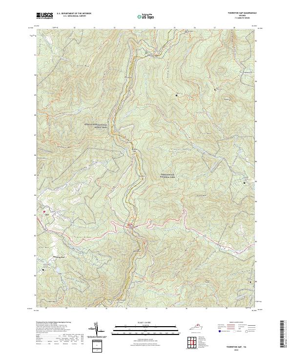
2022 Thornton Gap
Rappahannock County, VA
2022 Woodville
Rappahannock County, VA