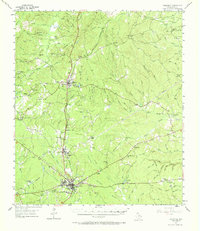
1955 Map of Woodville
USGS Topo · Published 1968About this map
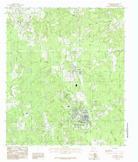
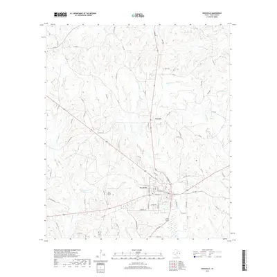
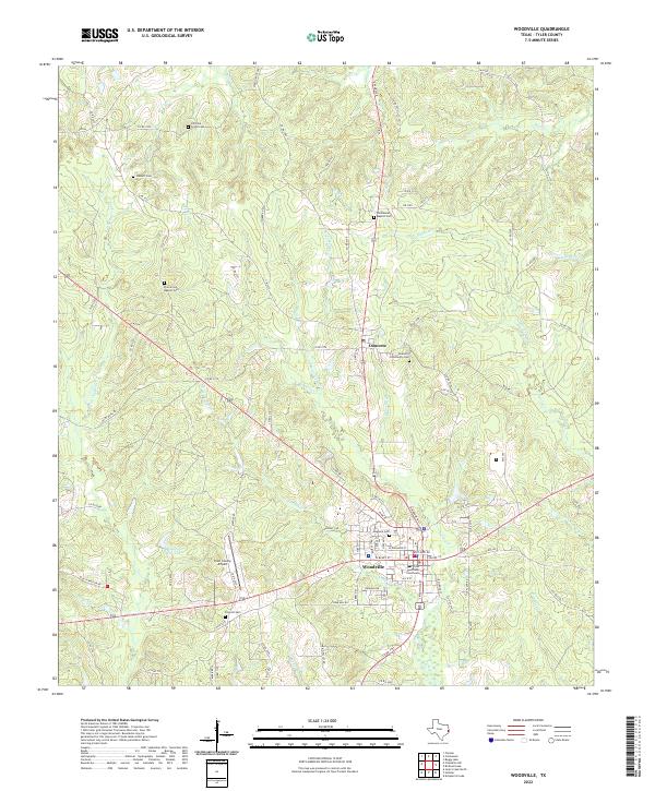
Woodville serves as the primary hub of this East Texas piney woods landscape, shown during a period of transition in the mid-1950s. The town's layout is centered on the junction of rail and road, with the Southern Pacific railroad cutting north through Colmesneil and south toward the coast. The rural character of the county is evident in the dense distribution of family and community landmarks, such as Hickory Grove Cem, Barlow Chapel, and Egypt Ch. The map reveals the intricate drainage network of the Neches River watershed, including the Wolf Creek and Turkey Creek systems that define the local topography.
Find a feature on this map
74 named features on this map. Tap any name to fly to it.
Don’t see what you’re looking for? This feature index may not catch every label — zoom into the map to look around manually.
Map Details
Editions of this 1955 Woodville Map
2 editions found
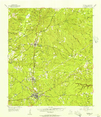
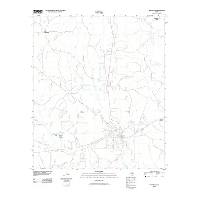
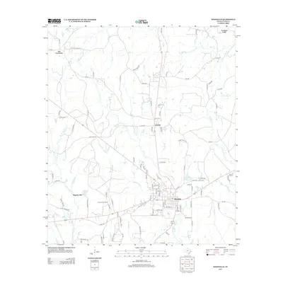
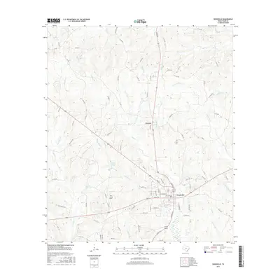
Historical Maps of Woodville Through Time
7 maps found