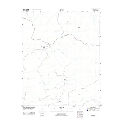
2012 Map of Woody
USGS Topo · Published 2012About this map
Woody stands as the central hub of this Kern County landscape, situated at the junction of the Bakersfield-Glennville Rd and Woody Rd. The settlement is closely associated with the Blue Mountain Cem, which sits just to the west near Spring Mountain Gulch. The map reveals a ranching economy established across a series of drainages and elevations, including Woody Ranch to the north and Jordon Ranch to the east.
Find a feature on this map
39 named features on this map. Tap any name to fly to it.
Don’t see what you’re looking for? This feature index may not catch every label — zoom into the map to look around manually.
Map Details
Editions of this 2012 Woody Map
This is the sole edition of this map. No revisions or reprints were ever made.
Other maps of this area

1906 · Bakersfield
USGS Topo · 1:62,500

1920 · Delonagha
USGS Topo · 1:62,500

1926 · Quincy School
USGS Topo · 1:31,680

1926 · Glennville
USGS Topo · 1:62,500

1929 · Quincy School
USGS Topo · 1:31,680

1932 · Woody
USGS Topo · 1:62,500

1935 · Woody
USGS Topo · 1:62,500

1936 · White River
USGS Topo · 1:62,500

1936 · Tobias Peak
USGS Topo · 1:125,000

1943 · Tobias Peak
USGS Topo · 1:125,000