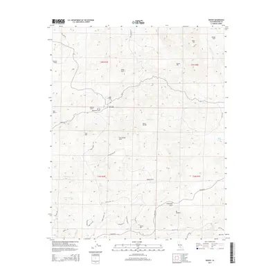
2015 Map of Woody
USGS Topo · Published 2015About this map
The settlement of Woody occupies a central position within this Kern County landscape, serving as a hub for local routes like Woody Rd and Williams Ranch Rd. The terrain is defined by the western slopes of the Sierra Nevada, where numerous gulches such as Howling Gulch and Four Springs Gulch carve through the foothills. Genealogists and local historians can locate the Blue Mountain Cem situated just north of the town site, a significant landmark for tracing early families of this ranching region.
Find a feature on this map
45 named features on this map. Tap any name to fly to it.
Don’t see what you’re looking for? This feature index may not catch every label — zoom into the map to look around manually.
Map Details
Editions of this 2015 Woody Map
This is the sole edition of this map. No revisions or reprints were ever made.
Other maps of this area

1906 · Bakersfield
USGS Topo · 1:62,500

1920 · Delonagha
USGS Topo · 1:62,500

1926 · Quincy School
USGS Topo · 1:31,680

1926 · Glennville
USGS Topo · 1:62,500

1929 · Quincy School
USGS Topo · 1:31,680

1932 · Woody
USGS Topo · 1:62,500

1935 · Woody
USGS Topo · 1:62,500

1936 · White River
USGS Topo · 1:62,500

1936 · Tobias Peak
USGS Topo · 1:125,000

1943 · Tobias Peak
USGS Topo · 1:125,000