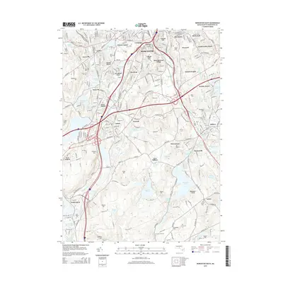
2015 Map of Worcester South
USGS Topo · Published 2015About this map
The southern reaches of Worcester are dominated by a complex network of industrial-era settlements and topographic high points. This landscape is defined by the Blackstone River corridor, where the Providence & Worcester RR follows the valley floor past established neighborhoods like Quinsigamond Village and Bramanville. The topography is a series of named drumlins and elevations, including Pakachoag Hill, the site of the Coll of the Holy Cross, and the prominent Federal Hill to the south. Numerous reservoirs and ponds, such as Singletary Pond and Stoneville Pond, indicate a history of water management for local industry. The map captures a high density of civic and religious sites, from the expansive Hope Cem and Saint Johns Cem to smaller family and community burial grounds like Dwinell Cem and the Sutton Town Cem near the village of Sutton.
Find a feature on this map
96 named features on this map. Tap any name to fly to it.
Don’t see what you’re looking for? This feature index may not catch every label — zoom into the map to look around manually.
Map Details
Editions of this 2015 Worcester South Map
This is the sole edition of this map. No revisions or reprints were ever made.
Other maps of this area

1885 · Worcester
USGS Topo · 1:62,500

1886 · Worcester
USGS Topo · 1:62,500

1886 · Blackstone
USGS Topo · 1:62,500

1887 · Marlboro
USGS Topo · 1:62,500

1889 · Marlboro
USGS Topo · 1:62,500

1889 · Blackstone
USGS Topo · 1:62,500

1889 · Webster
USGS Topo · 1:62,500

1892 · Webster
USGS Topo · 1:62,500

1892 · Worcester
USGS Topo · 1:62,500

1893 · Blackstone
USGS Topo · 1:62,500