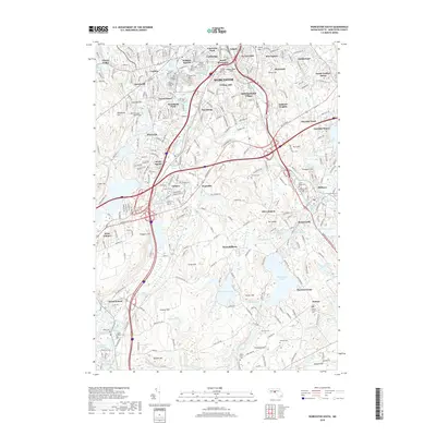
2018 Map of Worcester South
USGS Topo · Published 2018About this map
Worcester and its southern suburbs appear here as a dense network of industrial history and academic centers. The College of the Holy Cross anchors College Hill, overlooking the Middle River and Blackstone River corridors that historically drove the region's manufacturing. In Auburn, the complex interchange at Drury Square sits near landmarks like Auburn Pond and the Auburn Cem, while further south, the terrain shifts into the water-rich landscape of West Millbury and Sutton. Here, features like Singletary Pond and Ramshorn Pond define the geography. For those tracing family history, the map provides precise locations for numerous community spaces, including the Worcester Hebrew Cem, Saint Johns Cem, and Old Swedish Cem, as well as established neighborhoods like Quinsigamond Village and South Worcester.
Find a feature on this map
92 named features on this map. Tap any name to fly to it.
Don’t see what you’re looking for? This feature index may not catch every label — zoom into the map to look around manually.
Map Details
Editions of this 2018 Worcester South Map
This is the sole edition of this map. No revisions or reprints were ever made.
Other maps of this area

1885 · Worcester
USGS Topo · 1:62,500

1886 · Worcester
USGS Topo · 1:62,500

1886 · Blackstone
USGS Topo · 1:62,500

1887 · Marlboro
USGS Topo · 1:62,500

1889 · Marlboro
USGS Topo · 1:62,500

1889 · Blackstone
USGS Topo · 1:62,500

1889 · Webster
USGS Topo · 1:62,500

1892 · Webster
USGS Topo · 1:62,500

1892 · Worcester
USGS Topo · 1:62,500

1893 · Blackstone
USGS Topo · 1:62,500