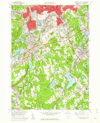
1960 Map of Worcester South
USGS Topo · Published 1962About this map
Clark University and Holy Cross College anchor the northern landscape of this Worcester county survey, illustrating the dense urban and institutional development of the early 1960s. The map documents the intricate rail network of the era, featuring the New York Central and the New York New Haven and Hartford lines as they navigate industrial corridors near Quinsigamond Village and South Worcester. Substantial land use is dedicated to historical burial grounds, including the expansive Hope Cemetery, Swedish Cem, and Notre Dame Cemetery, which provide significant data for genealogical research.
Find a feature on this map
123 named features on this map. Tap any name to fly to it.
Don’t see what you’re looking for? This feature index may not catch every label — zoom into the map to look around manually.
Map Details
Editions of this 1960 Worcester South Map
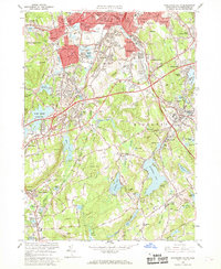
2 editions found
Other maps of this area

1885 · Worcester
USGS Topo · 1:62,500

1886 · Worcester
USGS Topo · 1:62,500

1886 · Blackstone
USGS Topo · 1:62,500

1887 · Marlboro
USGS Topo · 1:62,500

1889 · Marlboro
USGS Topo · 1:62,500

1889 · Blackstone
USGS Topo · 1:62,500

1889 · Webster
USGS Topo · 1:62,500

1892 · Webster
USGS Topo · 1:62,500

1892 · Worcester
USGS Topo · 1:62,500

1893 · Blackstone
USGS Topo · 1:62,500