
1886 Map of Worcester
USGS Topo · Published 1886About this map
Wachusett Mt. and its neighbor Little Wachusett dominate the northern horizon of this late nineteenth-century topography of the Massachusetts interior. The landscape is a complex network of industrial-era water management and rail connectivity, centered around the urban expansion of Worcester. In the south, the State Lunatic Hospital stands as a significant landmark near the city center, while the surrounding countryside is dotted with specialized hamlets like Wire Village and Quinapoxet Village.
Find a feature on this map
81 named features on this map. Tap any name to fly to it.
Don’t see what you’re looking for? This feature index may not catch every label — zoom into the map to look around manually.
Map Details
Editions of this 1886 Worcester Map
This is the sole edition of this map. No revisions or reprints were ever made.
Other maps of this area

1885 · Worcester
USGS Topo · 1:62,500

1886 · Blackstone
USGS Topo · 1:62,500

1887 · Brookfield
USGS Topo · 1:62,500

1887 · Winchendon
USGS Topo · 1:62,500

1887 · Marlboro
USGS Topo · 1:62,500

1887 · Barre
USGS Topo · 1:62,500
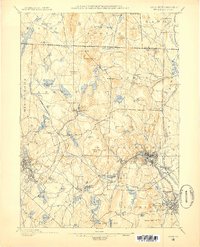
1887 · Fitchburg
USGS Topo · 1:62,500

1889 · Marlboro
USGS Topo · 1:62,500

1889 · Blackstone
USGS Topo · 1:62,500
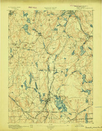
1889 · Webster
USGS Topo · 1:62,500