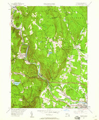
1951 Map of Woronoco
USGS Topo · Published 1960About this map
The Westfield River carves a deep valley through the Berkshire foothills, defining the industrial and transportation corridor between Huntington and Westfield. In this mid-century landscape, the village of Woronoco stands as a primary focal point, anchored by the Boston and Albany Railroad and the newly added Massachusetts Turnpike. The map reveals the area's geological utility through the Marble Quarries near Russell Mtn and the strategic water management seen at the Westfield Reservoir. Rural life persists on the higher elevations, marked by the Wyben Sch and Wyben Chapel in the eastern farming district. From the Hosmer Lookout to the Appalachian Mountain Club Trail, the terrain is a mix of rugged peaks like Tekoa Mtn and small valley settlements like Crescent Mills and Bradley.
Find a feature on this map
76 named features on this map. Tap any name to fly to it.
Don’t see what you’re looking for? This feature index may not catch every label — zoom into the map to look around manually.
Map Details
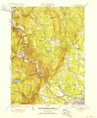
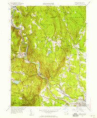
Editions of this 1951 Woronoco Map
3 editions found
Other maps of this area

1885 · Northampton
USGS Topo · 1:62,500

1886 · Springfield
USGS Topo · 1:62,500

1886 · Chesterfield
USGS Topo · 1:62,500

1886 · Northampton
USGS Topo · 1:62,500

1887 · Granville
USGS Topo · 1:62,500

1888 · Chesterfield
USGS Topo · 1:62,500

1889 · Springfield
USGS Topo · 1:62,500

1889 · Granville
USGS Topo · 1:62,500

1891 · Northampton
USGS Topo · 1:62,500

1893 · Northampton
USGS Topo · 1:62,500