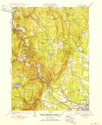
1951 Map of Woronoco
USGS Topo · Published 1951About this map
The Westfield River carves a deep valley through the eastern foothills of the Berkshires, dictating the path of the Boston and Albany Railroad and several industrial hamlets. The village of Woronoco and nearby Woronoco Heights reflect the area’s manufacturing and seasonal recreational character, while the steep slopes of Shatterack Mtn and Tekoa Mtn overlook a landscape of small-scale extraction, evidenced by the Marble Quarries near Russell Mtn.
Find a feature on this map
109 named features on this map. Tap any name to fly to it.
Don’t see what you’re looking for? This feature index may not catch every label — zoom into the map to look around manually.
Map Details
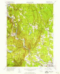
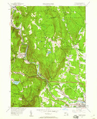
Editions of this 1951 Woronoco Map
3 editions found
Other maps of this area

1885 · Northampton
USGS Topo · 1:62,500

1886 · Springfield
USGS Topo · 1:62,500

1886 · Chesterfield
USGS Topo · 1:62,500

1886 · Northampton
USGS Topo · 1:62,500

1887 · Granville
USGS Topo · 1:62,500

1888 · Chesterfield
USGS Topo · 1:62,500

1889 · Springfield
USGS Topo · 1:62,500

1889 · Granville
USGS Topo · 1:62,500

1891 · Northampton
USGS Topo · 1:62,500

1893 · Northampton
USGS Topo · 1:62,500