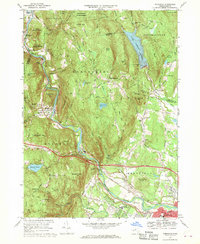
1967 Map of Woronoco
USGS Topo · Published 1970About this map
The Westfield River carves a deep valley through the heart of this Hampden County terrain, dictating the development of industrial and residential corridors during the late 1960s. Along its banks, the Penn Central railroad and the Massachusetts Turnpike parallel the water, connecting the manufacturing hamlet of Woronoco with the larger hub of Westfield. This survey captures the region just as suburban expansion began to reach into the Pochassic Hills, yet much of the high ground remains dedicated to conservation and infrastructure, such as the Huntington State Forest and the large Tighe Carmody Reservoir. Educational and recreational landmarks are prominently established, including the campus of Westfield State College and the Tekoa Country Club. From the mountain summits like Bungy Mtn to the small village settlements at Wyben and Russellville, the map provides a clear record of a landscape balancing mid-century industry with its natural watershed.
Find a feature on this map
80 named features on this map. Tap any name to fly to it.
Don’t see what you’re looking for? This feature index may not catch every label — zoom into the map to look around manually.
Map Details
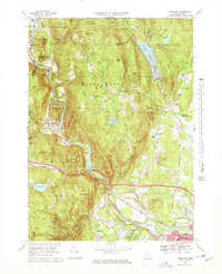
Editions of this 1967 Woronoco Map
2 editions found
Other maps of this area

1885 · Northampton
USGS Topo · 1:62,500

1886 · Springfield
USGS Topo · 1:62,500

1886 · Chesterfield
USGS Topo · 1:62,500

1886 · Northampton
USGS Topo · 1:62,500

1887 · Granville
USGS Topo · 1:62,500

1888 · Chesterfield
USGS Topo · 1:62,500

1889 · Springfield
USGS Topo · 1:62,500

1889 · Granville
USGS Topo · 1:62,500

1891 · Northampton
USGS Topo · 1:62,500

1893 · Northampton
USGS Topo · 1:62,500