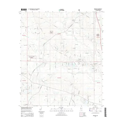
2015 Map of Wortham
USGS Topo · Published 2015About this map
The Biloxi River and Little Biloxi River define the drainage of this Harrison County landscape, winding through the protected acreage of the Desoto National Forest. This 2015 survey reveals a pattern of dispersed rural settlements, including Wortham, Hovey, and Lizana, which are connected by a network of local roads frequently named for the families who settled the area. Local history is anchored by several documented burial grounds, such as Wedgeworth Cem near the river and Live Oak Cem further south. The presence of Shade Tree Field and Riverline Lake further illustrates the intersection of timber management, water resources, and residential growth in this part of Mississippi. The map provides a precise view of the terrain as it appeared before more recent coastal-hinterland development altered the character of these traditional communities.
Find a feature on this map
133 named features on this map. Tap any name to fly to it.
Don’t see what you’re looking for? This feature index may not catch every label — zoom into the map to look around manually.
Map Details
Editions of this 2015 Wortham Map
This is the sole edition of this map. No revisions or reprints were ever made.
Other maps of this area

1953 · Mobile
USGS Topo · 1:250,000

1954 · McHenry
USGS Topo · 1:62,500

1954 · Gulfport North
USGS Topo · 1:24,000

1955 · Savannah
USGS Topo · 1:62,500

1956 · Vidalia
USGS Topo · 1:24,000

1956 · Gulfport NW
USGS Topo · 1:24,000

1957 · Mobile
USGS Topo · 1:250,000

1960 · Mobile
USGS Topo · 1:250,000

1963 · Mobile
USGS Topo · 1:250,000

1965 · Mobile
USGS Topo · 1:250,000