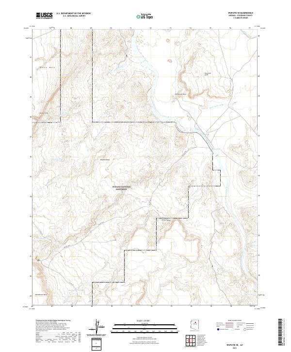
2021 Map of Wupatki SE
USGS Topo · Published 2021About this map
Wupatki National Monument encompasses much of this arid landscape in northern Arizona, where deep washes and prominent mesas define the terrain. The Little Colorado River winds through the northern section, creating a natural corridor marked by Inscription Point and the dramatic drop of Black Falls. These water sources were vital in a region where ephemeral drainages like Deadman Wash and Citadel Wash only flow during seasonal rains. Elevated landmarks such as White Mesa and Woodhouse Mesa provide panoramic views over the Wupatki Basin, while Heiser Spring offers a rare permanent water point. Archaeological and geological significance is evident throughout the area, with Wukoki Road and Co Rd 395 providing access to these sensitive desert lands within the Painted Desert periphery.
Find a feature on this map
28 named features on this map. Tap any name to fly to it.
Don’t see what you’re looking for? This feature index may not catch every label — zoom into the map to look around manually.
Map Details
Editions of this 2021 Wupatki SE Map
This is the sole edition of this map. No revisions or reprints were ever made.
Other maps of this area

1886 · San Francisco Mtns
USGS Topo · 1:250,000

1891 · San Francisco Mtns
USGS Topo · 1:250,000

1894 · San Francisco Mtns
USGS Topo · 1:250,000

1899 · San Francisco Mtns
USGS Topo · 1:250,000

1947 · Flagstaff
USGS Topo · 1:250,000

1954 · Flagstaff
USGS Topo · 1:250,000

1955 · Black Falls 4 SW
USGS Topo · 1:24,000

1955 · Black Falls NE
USGS Topo · 1:24,000

1958 · Flagstaff
USGS Topo · 1:250,000

1960 · Flagstaff
USGS Topo · 1:250,000