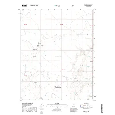
2018 Map of Wupatki SW
USGS Topo · Published 2018About this map
Wupatki National Monument and the Coconino National Forest define this high-desert landscape in northern Arizona, where volcanic geology meets a network of seasonal washes. The map details a complex system of plateaus and depressions, including Citadel Sink and Arrowhead Sink, which provided critical natural drainage and resource points for the region's inhabitants. Human passage through the arid terrain is marked by the Lomaki Trail and established water sources like Wupatki Spring and Bar Doney Tank.
Find a feature on this map
38 named features on this map. Tap any name to fly to it.
Don’t see what you’re looking for? This feature index may not catch every label — zoom into the map to look around manually.
Map Details
Editions of this 2018 Wupatki SW Map
This is the sole edition of this map. No revisions or reprints were ever made.
Other maps of this area

1886 · San Francisco Mtns
USGS Topo · 1:250,000

1891 · San Francisco Mtns
USGS Topo · 1:250,000

1894 · San Francisco Mtns
USGS Topo · 1:250,000

1899 · San Francisco Mtns
USGS Topo · 1:250,000

1908 · Flagstaff
USGS Topo · 1:125,000

1912 · Flagstaff
USGS Topo · 1:125,000

1947 · Flagstaff
USGS Topo · 1:250,000

1954 · Flagstaff
USGS Topo · 1:250,000

1955 · Black Falls NE
USGS Topo · 1:24,000

1958 · Flagstaff
USGS Topo · 1:250,000