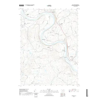
2019 Map of Wyalusing
USGS Topo · Published 2019About this map
The Susquehanna River carves a dramatic oxbow through the heart of this Bradford County landscape, dictating the placement of historic riverbank settlements and crossing points. This contemporary survey shows how the river-bottom lands around Terrytown and Homets Ferry remain central to the region's geography, while upland ridges like Norway Ridge and Oak Hill rise sharply from the valley floor. The map is particularly dense with genealogical markers, documenting family-named burial grounds such as the Laporte Family Cem and the Frenchtown Old Cem.
Find a feature on this map
88 named features on this map. Tap any name to fly to it.
Don’t see what you’re looking for? This feature index may not catch every label — zoom into the map to look around manually.
Map Details
Editions of this 2019 Wyalusing Map
This is the sole edition of this map. No revisions or reprints were ever made.
Other maps of this area

1923 · Towanda
USGS Topo · 1:62,500

1926 · Towanda
USGS Topo · 1:62,500

1943 · Towanda
USGS Topo · 1:62,500

1943 · Monroeton
USGS Topo · 1:62,500

1943 · Le Raysville
USGS Topo · 1:62,500

1945 · Le Raysville
USGS Topo · 1:62,500

1945 · Meshoppen
USGS Topo · 1:62,500

1945 · Jenningsville
USGS Topo · 1:24,000

1945 · Laceyville
USGS Topo · 1:24,000

1947 · Jenningsville
USGS Topo · 1:31,680
Featured Places
- Wilmot Township, PA
- Asylum Township, PA
- Standing Stone Township, PA
- Wyalusing, PA
- Terrytown, Terry Township