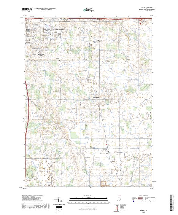
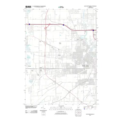
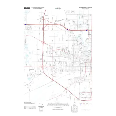
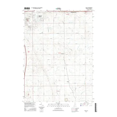
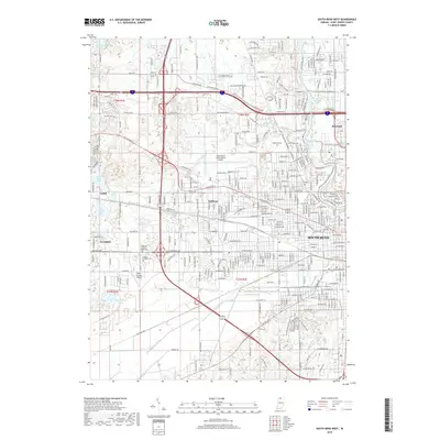
2022 Map of Wyatt
USGS Topo · Published 2022About this map
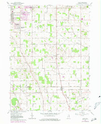
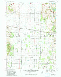
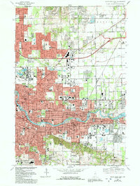
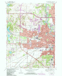
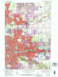
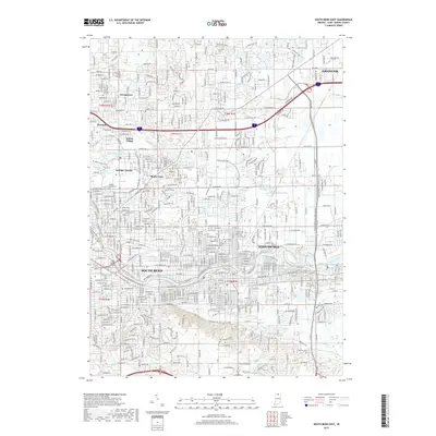
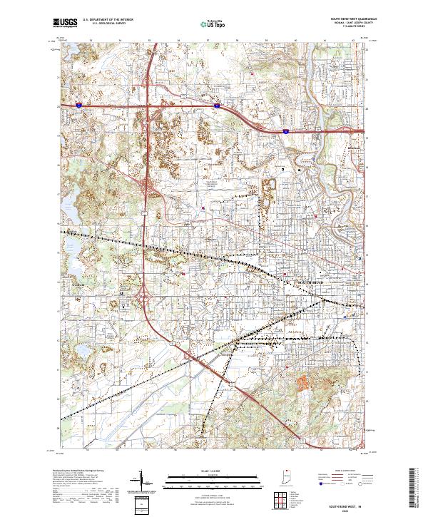
The southern fringes of South Bend meet the agricultural heart of St. Joseph County in this survey, showcasing a landscape defined by postwar residential expansion and an extensive network of drainage infrastructure. Subdivisions such as Crest Manor Addition, Gulivoire Park, and Miami Trails Addition illustrate the mid-to-late 20th-century growth patterns extending from the city center. This suburban development sits in sharp contrast to the traditional rural character of southern settlements like Woodland and Wyatt, where the economy remains tied to the surrounding fields.
Find a feature on this map
58 named features on this map. Tap any name to fly to it.
Don’t see what you’re looking for? This feature index may not catch every label — zoom into the map to look around manually.
Map Details
Editions of this 2022 Wyatt Map
This is the sole edition of this map. No revisions or reprints were ever made.
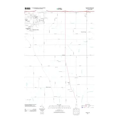
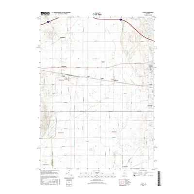
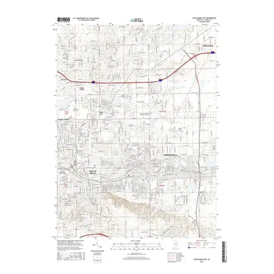
Historical Maps of South Bend Through Time
29 maps found
1958 Lydick
St. Joseph County, IN
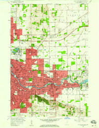
1958 South Bend East
St. Joseph County, IN
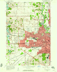
1958 South Bend West
St. Joseph County, IN
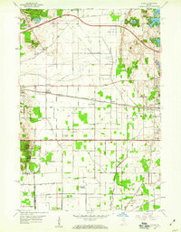
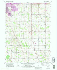
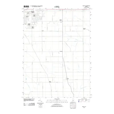
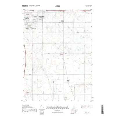
1961 Wyatt
St. Joseph County, IN
1969 Lydick
St. Joseph County, IN
1969 South Bend East
St. Joseph County, IN
1969 South Bend West
St. Joseph County, IN
1992 South Bend East
St. Joseph County, IN
1992 Wyatt
St. Joseph County, IN
2010 Lydick
St. Joseph County, IN
2010 South Bend East
St. Joseph County, IN
2010 South Bend West
St. Joseph County, IN
2010 Wyatt
St. Joseph County, IN
2013 Lydick
St. Joseph County, IN
2013 South Bend East
St. Joseph County, IN
2013 South Bend West
St. Joseph County, IN
2013 Wyatt
St. Joseph County, IN
2016 Lydick
St. Joseph County, IN
2016 South Bend East
St. Joseph County, IN
2016 South Bend West
St. Joseph County, IN
2016 Wyatt
St. Joseph County, IN
2019 Lydick
St. Joseph County, IN
2019 South Bend East
St. Joseph County, IN
2019 South Bend West
St. Joseph County, IN
2019 Wyatt
St. Joseph County, IN
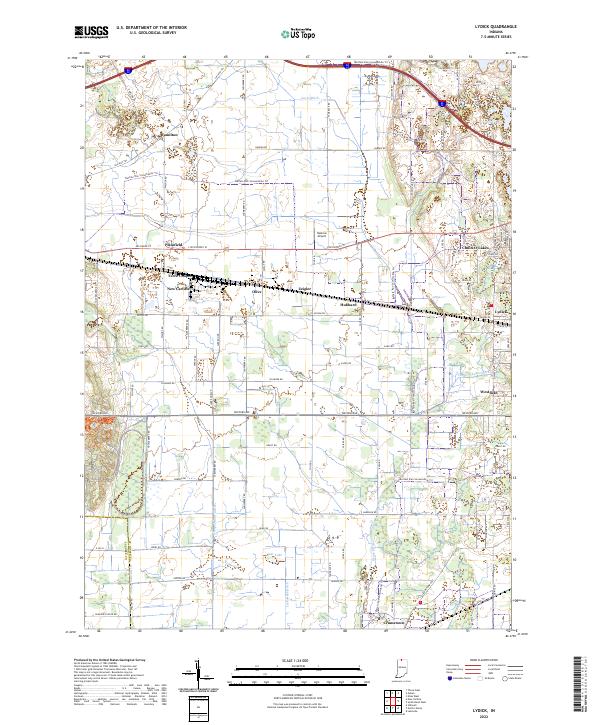
2022 Lydick
St. Joseph County, IN
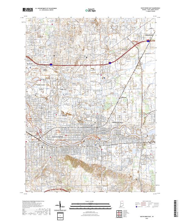
2022 South Bend East
St. Joseph County, IN
2022 South Bend West
St. Joseph County, IN
2022 Wyatt
St. Joseph County, IN