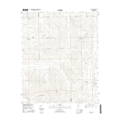
2015 Map of Wyatte
USGS Topo · Published 2015About this map
Wyatte and Wakefield anchor a rural landscape defined by family settlements and ancestral burial grounds along the border of Tate and Marshall Counties. The terrain is deeply etched by the headwaters of Hickahala Cr and Cuffawa Creek, which drain a patchwork of wooded hills and small-scale farms. This area preserves a high density of small community landmarks, from Wallhill in the west to Chulahoma in the east, each marked by its own places of worship and remembrance like Strickland Chapel Cem and Roberts Chapel Cem.
Find a feature on this map
84 named features on this map. Tap any name to fly to it.
Don’t see what you’re looking for? This feature index may not catch every label — zoom into the map to look around manually.
Map Details
Editions of this 2015 Wyatte Map
This is the sole edition of this map. No revisions or reprints were ever made.
Other maps of this area

1944 · Senatobia
USGS Topo · 1:62,500

1944 · Hernando
USGS Topo · 1:62,500

1944 · Tyro
USGS Topo · 1:62,500

1948 · Byhalia
USGS Topo · 1:62,500

1956 · Tupelo
USGS Topo · 1:250,000

1958 · Tupelo
USGS Topo · 1:250,000
1971 · Byhalia
USGS Topo · 1:24,000
1971 · Marianna
USGS Topo · 1:24,000

1971 · Wyatte
USGS Topo · 1:24,000

1971 · Laws Hill
USGS Topo · 1:24,000