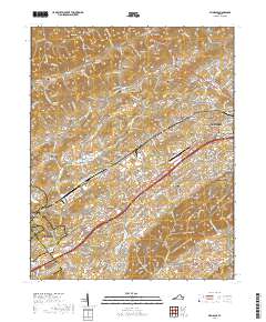
2019 Map of Wyndale
USGS Topo · Published 2019About this map
Walker Mtn and the Great Knobs define the terrain of this Washington County landscape, where the ridges of the Appalachian Valley and Ridge province guide the development of transportation and settlement. The Interstate 81 corridor serves as the primary modern artery, connecting the historic hub of Abingdon to the residential expansions of Hilander Park and Evergreen Hills. Near the eastern edge, the Virginia Highlands Community College and the Southwest Virginia Higher Education Center represent the region's 21st-century educational infrastructure.
Find a feature on this map
205 named features on this map. Tap any name to fly to it.
Don’t see what you’re looking for? This feature index may not catch every label — zoom into the map to look around manually.
Map Details
Editions of this 2019 Wyndale Map
This is the sole edition of this map. No revisions or reprints were ever made.
Other maps of this area

1891 · Abingdon
USGS Topo · 1:125,000

1894 · Abingdon
USGS Topo · 1:125,000

1897 · Bristol
USGS Topo · 1:125,000

1902 · Bristol
USGS Topo · 1:125,000

1909 · Abingdon
USGS Topo · 1:96,000

1911 · Abingdon
USGS Topo · 1:125,000

1918 · Carterton
USGS Topo · 1:62,500

1934 · Wallace
USGS Topo · 1:24,000

1934 · Holston Valley
USGS Topo · 1:24,000

1934 · Brumley
USGS Topo · 1:24,000