Loading...
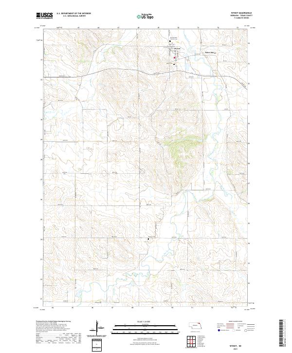
Loading map...2021 Map of Wynot
USGS Topo · Published 2021About this map
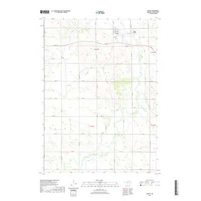
Wynot sits at the northern edge of this Cedar County landscape, where the local road network centers on Saint James Ave and Keegan Ave. This rural Nebraska environment is defined by the winding course of Bow Creek, which is joined by tributaries including W Bow Cr, East Bow Creek, and Dead Cr. These waterways carve through the terrain, dictating the placement of the section-line roads that define the region's agricultural layout.
Find a feature on this map
40 named features on this map. Tap any name to fly to it.
Don’t see what you’re looking for? This feature index may not catch every label — zoom into the map to look around manually.
Map Details
Date Portrayed2021
Date Published2021
PublisherU.S. Geological Survey
Map TypeTopographic
Scale1:24,000
Physical Dimensions24 x 29 inches
Editions of this 2021 Wynot Map
This is the sole edition of this map. No revisions or reprints were ever made.
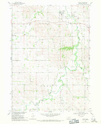
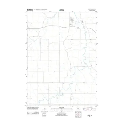
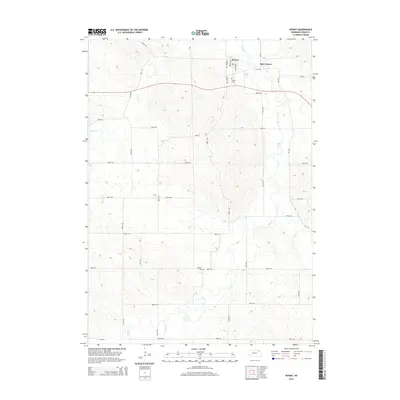
Historical Maps of Wynot Through Time
5 maps found
Featured Locations
Source Details
SourceU.S. Geological Survey
CopyrightPublic Domain