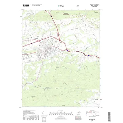
2019 Map of Wytheville
USGS Topo · Published 2019About this map
Wytheville serves as the focal point of this survey, shown as a significant regional hub with its Wytheville Community College and the Wythe County Circuit Court Building anchoring the town center. The landscape transitions from the urbanized streets of the county seat to the protected wilderness of the Jefferson National Forest in the north and the complex ridges of Lick Mtn to the south. Numerous family and community cemeteries are documented across the area, including Saint Johns Cem and Oakwood Memorial Gardens, offering valuable data for genealogical research.
Find a feature on this map
166 named features on this map. Tap any name to fly to it.
Don’t see what you’re looking for? This feature index may not catch every label — zoom into the map to look around manually.
Map Details
Editions of this 2019 Wytheville Map
This is the sole edition of this map. No revisions or reprints were ever made.
Other maps of this area

1887 · Pocahontas
USGS Topo · 1:125,000

1889 · Hillsville
USGS Topo · 1:125,000

1889 · Wytheville
USGS Topo · 1:125,000

1890 · Dublin
USGS Topo · 1:125,000

1891 · Pocahontas
USGS Topo · 1:125,000

1891 · Dublin
USGS Topo · 1:125,000

1892 · Hillsville
USGS Topo · 1:125,000

1892 · Wytheville
USGS Topo · 1:125,000

1894 · Pocahontas
USGS Topo · 1:125,000

1895 · Pocahontas
USGS Topo · 1:125,000