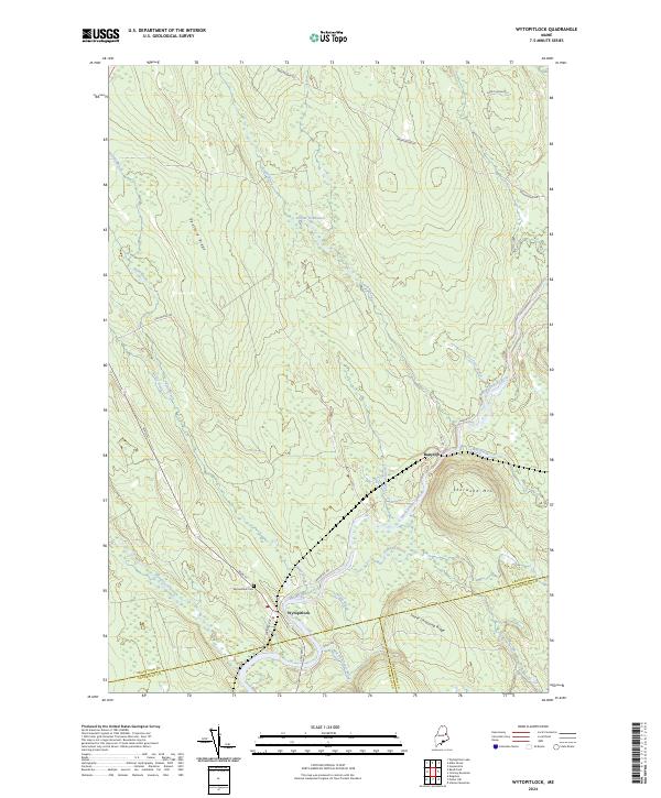
2024 Map of Wytopitlock
USGS Topo · Published 2024About this map
The Mattawamkeag River snakes through this northern Maine landscape, serving as the central artery for the settlements of Wytopitlock and Bancroft. This interior region, where the borders of Aroostook, Penobscot, and Washington counties converge, is defined by a network of drainage systems and prominent landforms. Significant elevations such as Sherwood Mtn, Spofford Ridge, and Sweet Chopping Ridge dominate the topography, while the slow-moving Palmer Deadwater on Smith Brook illustrates the low-gradient hydrology characteristic of the area. Local genealogy and history are anchored by the Wytopitlock Cem located just off Main St. The map details a landscape of timber-related place names and remote brooks, including the evocatively named Mill Priviledge Brook and Wytopitlock Stream, reflecting the long-standing relationship between the local economy and its water resources.
Find a feature on this map
29 named features on this map. Tap any name to fly to it.
Don’t see what you’re looking for? This feature index may not catch every label — zoom into the map to look around manually.
Map Details
Editions of this 2024 Wytopitlock Map
This is the sole edition of this map. No revisions or reprints were ever made.
Other maps of this area

1940 · Danforth
USGS Topo · 1:62,500

1940 · Amity
USGS Topo · 1:62,500

1941 · Danforth
USGS Topo · 1:62,500

1941 · Amity
USGS Topo · 1:62,500

1941 · Mattawamkeag Lake
USGS Topo · 1:62,500

1941 · Wytopitlock
USGS Topo · 1:62,500

1943 · Danforth
USGS Topo · 1:62,500

1943 · Wytopitlock
USGS Topo · 1:62,500

1943 · Amity
USGS Topo · 1:62,500

1943 · Mattawamkeag Lake
USGS Topo · 1:62,500