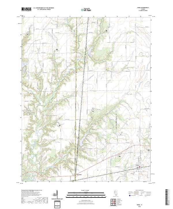
2024 Map of Xenia
USGS Topo · Published 2024About this map
The Marion County and Clay County line bisects this landscape, where the village of Xenia and the settlement at Greendale anchor a rural region shaped by numerous small watercourses. The drainage patterns of Skillet Fork, Pickle Creek, and Sutton Creek define the topography, creating a network of creek bottoms and wooded draws. Genealogists will find a high density of small burial sites scattered across the township, including the Oddfellows Cem near the town center and family-named locations such as Edwards Family Cem, Shadden Cem, and Songer Cem. This modern survey also documents the eastern reaches of Forbes Lake, reflecting how the contemporary landscape balances water management and agricultural use. A grid of county roads, such as Co Rd 1800 N and Krutsinger Rd, provides access to these historical family landmarks and rural creek crossings.
Find a feature on this map
88 named features on this map. Tap any name to fly to it.
Don’t see what you’re looking for? This feature index may not catch every label — zoom into the map to look around manually.
Map Details
Editions of this 2024 Xenia Map
This is the sole edition of this map. No revisions or reprints were ever made.
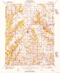
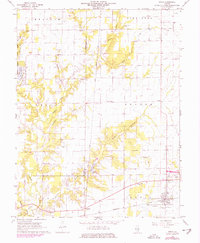
Historical Maps of Marion County Through Time
Featured Locations
- Songer Township, IL
- Omega Township, IL
- Iuka Township, IL
- Greendale, Xenia Township
- Xenia, Xenia Township