Loading...
Loading map...1917 Map of Xenia
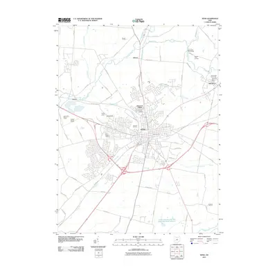
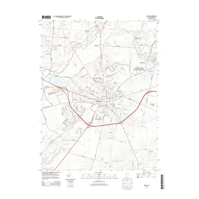
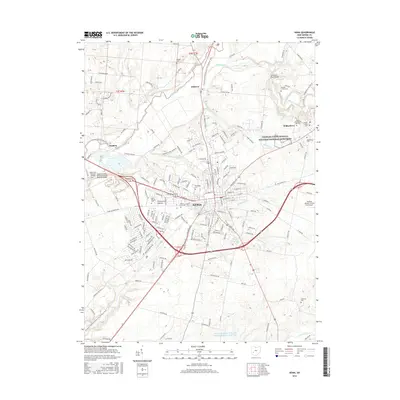
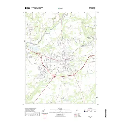
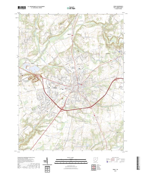
USGS Topo · Published 1950About this map
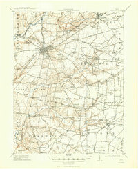
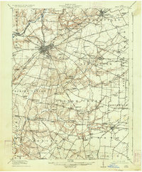
Wilberforce University stands as a prominent cultural anchor in this Greene County landscape, situated just northeast of Xenia during the early 20th century. The settlement patterns at this time reveal a densely networked rural society, marked by institutional landmarks such as the Soldiers and Sailors Orphans Home, the County Infirmary, and the Childrens Home. These larger complexes are surrounded by a web of named country schools like Rural Home School and Westpoint School, alongside hamlets such as Oldtown and Trebein.
Find a feature on this map
107 named features on this map. Tap any name to fly to it.
Don’t see what you’re looking for? This feature index may not catch every label — zoom into the map to look around manually.
Map Details
Date Portrayed1917
Date Published1950
PublisherU.S. Geological Survey
Map TypeTopographic
Scale1:62,500
Physical Dimensions17 x 20.9 inches
Editions of this 1917 Xenia Map
2 editions found
Historical Maps of Xenia Through Time
8 maps found
Featured Locations
- Harveysburg, OH
- Xenia, OH
- Jamestown, Silvercreek Township
- Cedarville, Cedarville Township
- New Jasper, New Jasper Township
Source Details
SourceU.S. Geological Survey
CopyrightPublic Domain