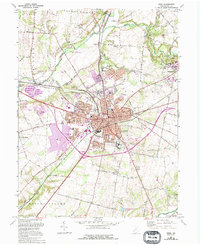
1965 Map of Xenia
USGS Topo · Published 1995About this map
Xenia serves as the hub of this mid-century Greene County landscape, where the confluence of rail lines and regional roads meets the winding path of the Little Miami River. This survey, updated with revisions from the early 1990s, documents a significant concentration of institutional and educational landmarks. To the southeast, the Ohio Veterans Childrens Home occupies a sprawling campus, while the historic African American educational center of Wilberforce is detailed with Payne Seminary and the nearby Central State University. The terrain is shaped by the river valley and its tributaries like Massies Creek and Stevenson Creek, which are flanked by numerous gravel pits. Rural life is anchored by family and community sites such as Massies Creek Cem and the settlement of New Jasper, reflecting a period of steady growth along the Conrail rail corridors before the major transitions of the late 20th century.
Find a feature on this map
116 named features on this map. Tap any name to fly to it.
Don’t see what you’re looking for? This feature index may not catch every label — zoom into the map to look around manually.
Map Details
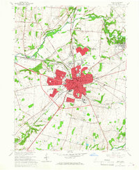
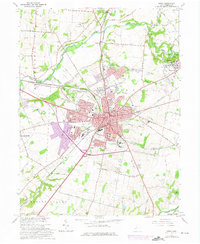
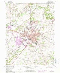
Editions of this 1965 Xenia Map
4 editions found
Other maps of this area

1904 · Springfield
USGS Topo · 1:62,500

1904 · Dayton
USGS Topo · 1:62,500

1906 · Dayton
USGS Topo · 1:62,500

1906 · Springfield
USGS Topo · 1:62,500

1913 · Waynesville
USGS Topo · 1:62,500

1915 · Waynesville
USGS Topo · 1:62,500

1917 · Xenia
USGS Topo · 1:62,500

1947 · Columbus
USGS Topo · 1:250,000

1953 · Cincinnati
USGS Topo · 1:250,000

1954 · Clifton
USGS Topo · 1:24,000
Featured Places
- Xenia, OH
- Xenia Township, OH
- Sugarcreek Township, OH
- Beavercreek Township, OH
- Spring Valley Township, OH