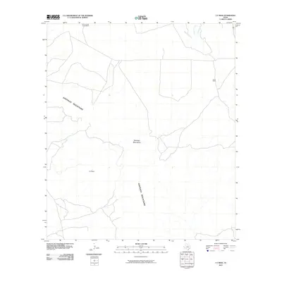
2010 Map of Y E Mesa
USGS Topo · Published 2010About this map
The Santiago Mountains dominate the central topography of this Trans-Pecos landscape, rising sharply above the desert floor and framing the prominent plateau of Y E Mesa. This 2010 survey reflects a region defined by large-scale ranching and intermittent watercourses, where human presence is largely represented by isolated pastoral operations. Notable landmarks of the local ranching legacy include the Combs Cattle County Ranch in the north and Fords Ranch to the east, illustrating how land use in this arid portion of Brewster County is tied to expansive family-held properties.
Find a feature on this map
8 named features on this map. Tap any name to fly to it.
Don’t see what you’re looking for? This feature index may not catch every label — zoom into the map to look around manually.
Map Details
Editions of this 2010 Y E Mesa Map
This is the sole edition of this map. No revisions or reprints were ever made.
Other maps of this area

1917 · Santiago Peak
USGS Topo · 1:62,500

1917 · Bone Spring
USGS Topo · 1:62,500

1917 · Hood Spring
USGS Topo · 1:62,500

1918 · Bone Spring
USGS Topo · 1:125,000

1918 · Hood Spring
USGS Topo · 1:62,500

1918 · Santiago Peak
USGS Topo · 1:62,500

1918 · Bone Spring
USGS Topo · 1:62,500

1918 · Nine Point Mesa
USGS Topo · 1:62,500

1920 · Bone Spring
USGS Topo · 1:62,500

1931 · Hood Spring
USGS Topo · 1:62,500