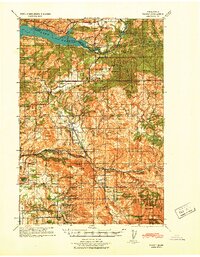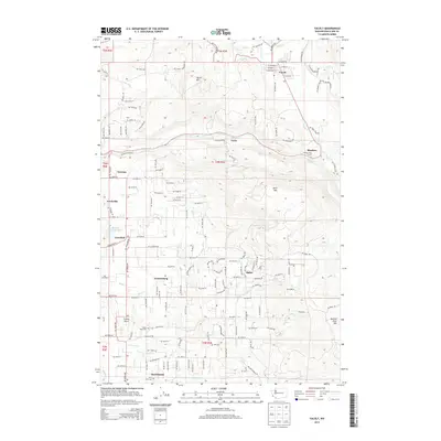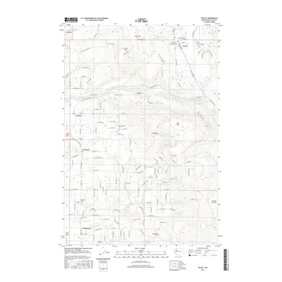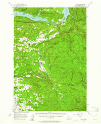
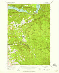
1956 Map of Yacolt
USGS Topo · Published 1961About this map
Yacolt stands as a central hub in this mid-century survey of the Lewis River drainage, situated where the Chelatchie Logging Railroad terminates near the Yacolt Reservoir. The map illustrates a landscape shaped by timber and water, featuring the industrial reach of the millpond at Chelatchie and several quarries and gravel pits scattered across the foothills. To the north, the massive reservoirs of Yale Lake and Lake Merwin dominate the border between Cowlitz and Clark Counties. The rugged eastern portion is largely contained within the Gifford Pinchot National Forest, marked by peaks like Green Knob and Jack Mtn. Researchers will find a network of rural settlements and family-named roads, such as Munch Road and Allworth Road, which connect smaller communities like Heisson, Crawford, and Venersborg to the river valleys and logging camps of the era.
Find a feature on this map
75 named features on this map. Tap any name to fly to it.
Don’t see what you’re looking for? This feature index may not catch every label — zoom into the map to look around manually.
Map Details
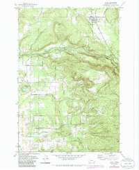
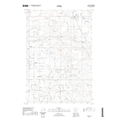
Editions of this 1956 Yacolt Map
2 editions found
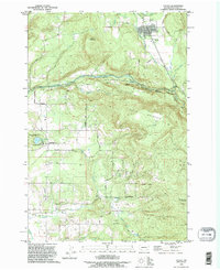
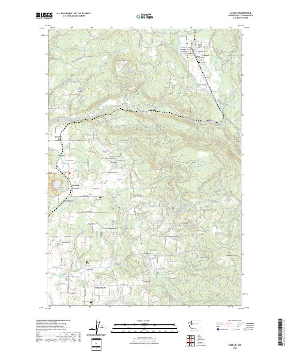
Historical Maps of Yacolt Through Time
9 maps found