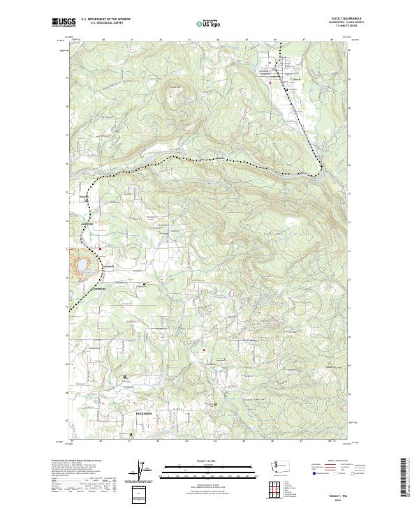
1990 Map of Yacolt
USGS Topo · Published 1995About this map
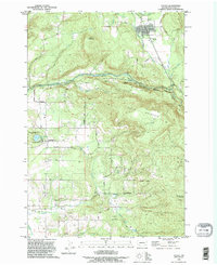
Yacolt sits in the northern reaches of this Clark County landscape, surrounded by a network of timbered ridges and river corridors. The East Fork Lewis River carves a central path through the terrain, punctuated by Lucia Falls and Moulton Falls, where the river's descent creates the distinct rapids that define the local topography. Further south, the map details the circular form of Battle Ground Lake within Battle Ground Lake State Park, a geological landmark south of Crawford.
Find a feature on this map
54 named features on this map. Tap any name to fly to it.
Don’t see what you’re looking for? This feature index may not catch every label — zoom into the map to look around manually.
Map Details
Editions of this 1990 Yacolt Map
This is the sole edition of this map. No revisions or reprints were ever made.
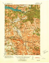
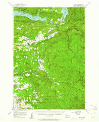
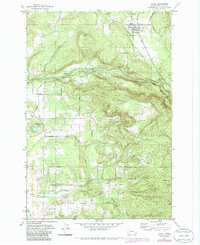
Historical Maps of Yacolt Through Time
5 maps found