2024 Map of Yale
USGS Topo · Published 2024About this map
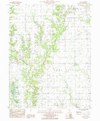
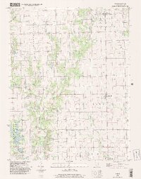
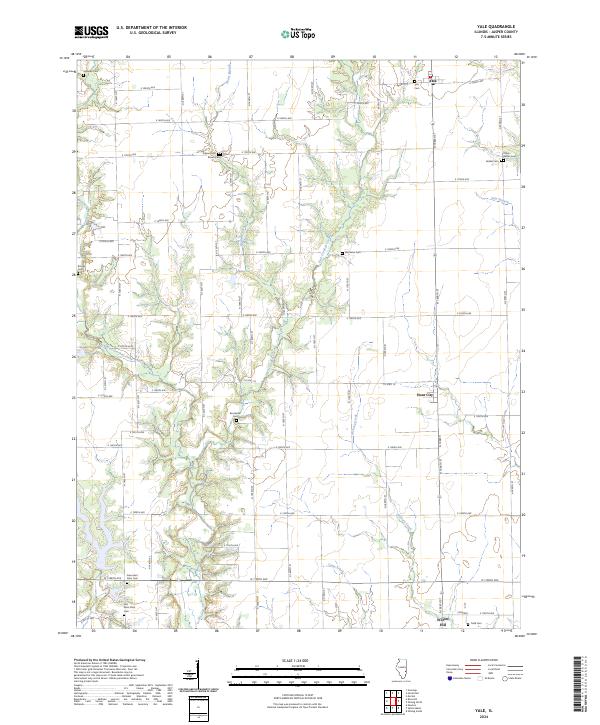
Yale and the rural townships of Jasper County are defined by a grid of agricultural roads and the meandering paths of Crooked Creek and its many branches. The landscape is dotted with small, family-named burial grounds that offer significant value for genealogical research, including Kilgore Cem, Matteson Cem, and Todd Cem. The southern portion of the map transitions into the settlements of Hunt City and Willow Hill, where the drainage of Hickory Creek and Camp Creek carves through the prairie. Of particular interest to local historians is the proximity of the Old Saint Peter Cem and New Saint Peter Cem, suggesting a shift in parish life or community center over time. The map preserves the names of small tributaries like Hunts Branch and Sam Branch, which historically dictated the placement of early farmsteads in this corner of Illinois.
Find a feature on this map
63 named features on this map. Tap any name to fly to it.
Don’t see what you’re looking for? This feature index may not catch every label — zoom into the map to look around manually.
Map Details
Editions of this 2024 Yale Map
This is the sole edition of this map. No revisions or reprints were ever made.