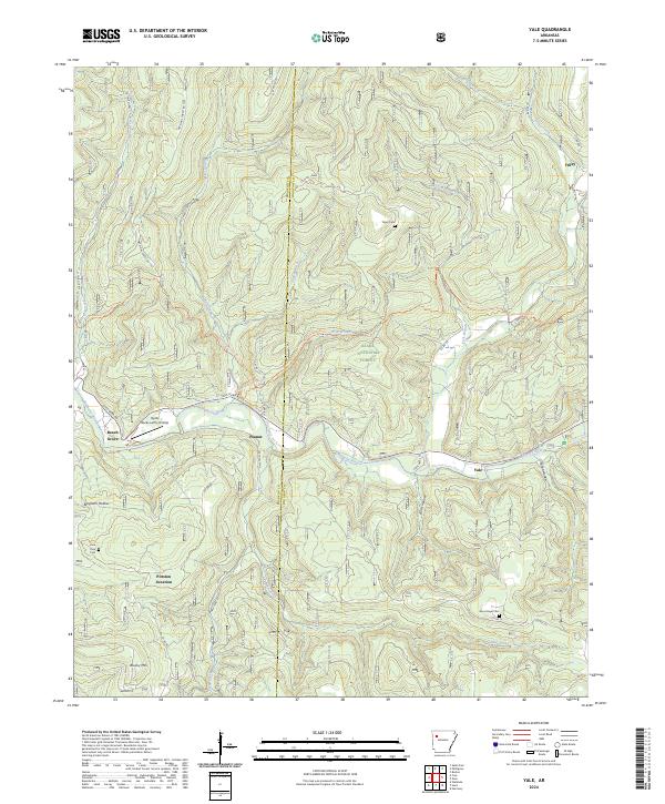
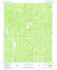
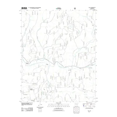
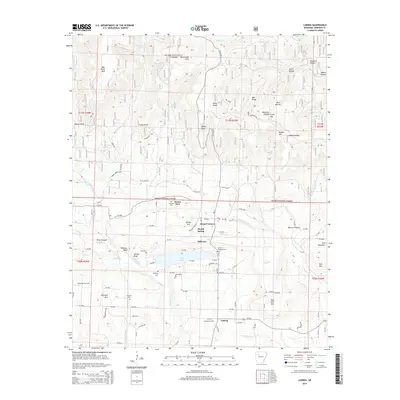
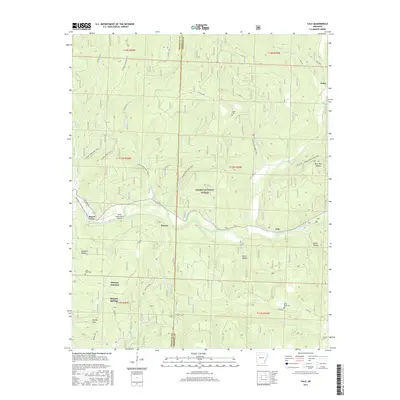
2024 Map of Yale
USGS Topo · Published 2024About this map
The Mulberry Wild and Scenic River carves a path through the southern reaches of the Ozark National Forest on the border of Franklin and Johnson Counties. This area is characterized by a high-elevation plateau deeply dissected by drainages like Pea Prong Creek and Friley Creek, which flow south toward the main river valley. Small, scattered settlements such as Yale, Peanut, and Beach Grove line the river corridor, connected by the winding Cass Oark Rd.
Find a feature on this map
43 named features on this map. Tap any name to fly to it.
Don’t see what you’re looking for? This feature index may not catch every label — zoom into the map to look around manually.
Map Details
Editions of this 2024 Yale Map
This is the sole edition of this map. No revisions or reprints were ever made.
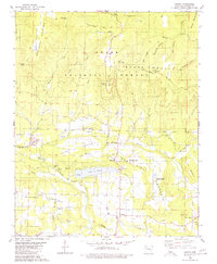
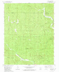
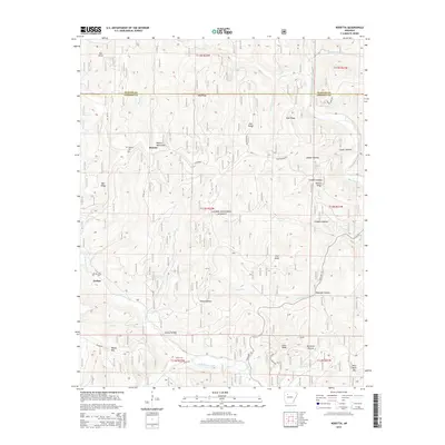
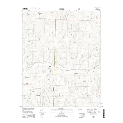
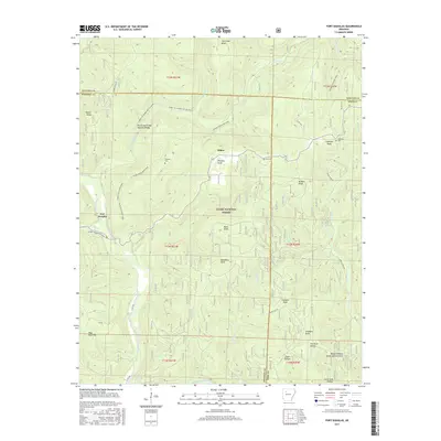
Historical Maps of Beech Grove Through Time
38 maps found

1888 Dardanelle #2
Johnson County, AR

1906 Batson
Johnson County, AR
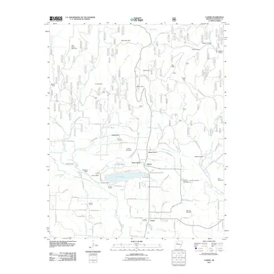
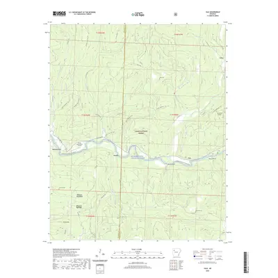
1963 Harmony
Johnson County, AR
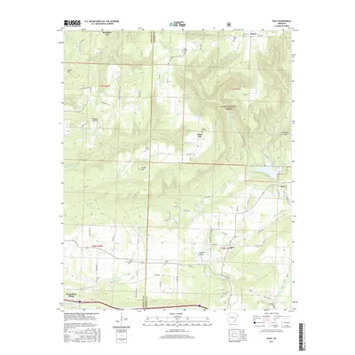
1963 Hunt
Johnson County, AR
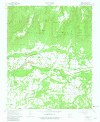
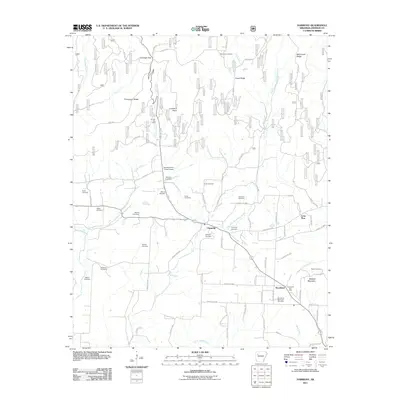
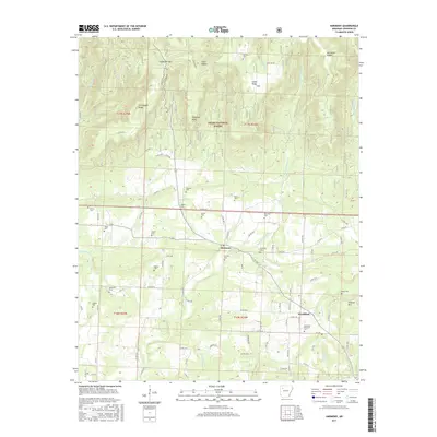
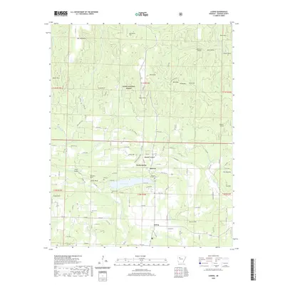
1973 Yale
Johnson County, AR
1980 Fort Douglas
Johnson County, AR
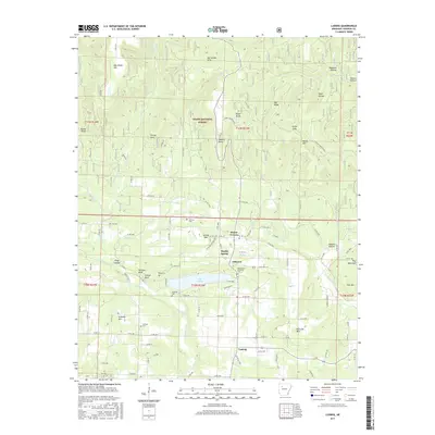
1980 Ludwig
Johnson County, AR
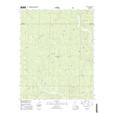
1980 Rosetta
Johnson County, AR
2011 Fort Douglas
Johnson County, AR
2011 Harmony
Johnson County, AR
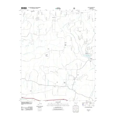
2011 Hunt
Johnson County, AR
2011 Ludwig
Johnson County, AR
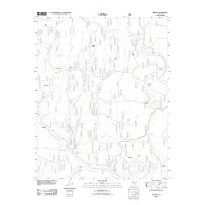
2011 Rosetta
Johnson County, AR
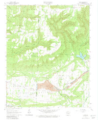
2011 Yale
Johnson County, AR
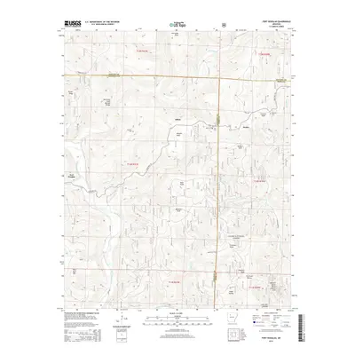
2014 Fort Douglas
Johnson County, AR
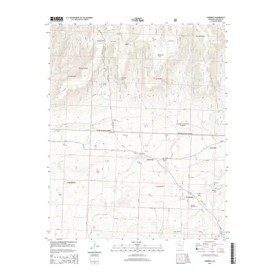
2014 Harmony
Johnson County, AR
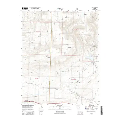
2014 Hunt
Johnson County, AR
2014 Ludwig
Johnson County, AR
2014 Rosetta
Johnson County, AR
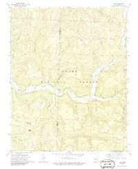
2014 Yale
Johnson County, AR
2017 Fort Douglas
Johnson County, AR
2017 Harmony
Johnson County, AR
2017 Hunt
Johnson County, AR
2017 Ludwig
Johnson County, AR
2017 Rosetta
Johnson County, AR
2017 Yale
Johnson County, AR
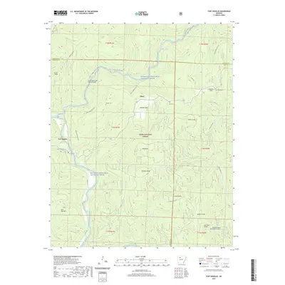
2020 Fort Douglas
Johnson County, AR
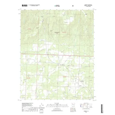
2020 Harmony
Johnson County, AR
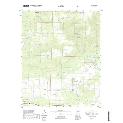
2020 Hunt
Johnson County, AR
2020 Ludwig
Johnson County, AR
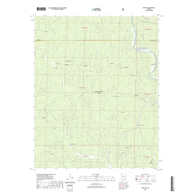
2020 Rosetta
Johnson County, AR
2020 Yale
Johnson County, AR
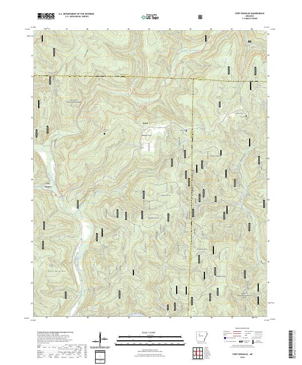
2024 Fort Douglas
Johnson County, AR
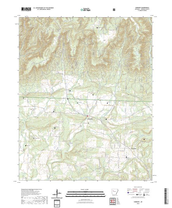
2024 Harmony
Johnson County, AR
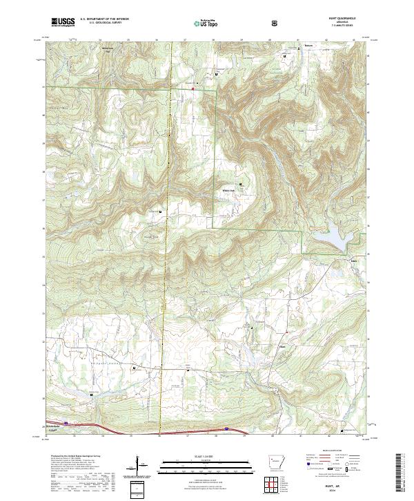
2024 Hunt
Johnson County, AR
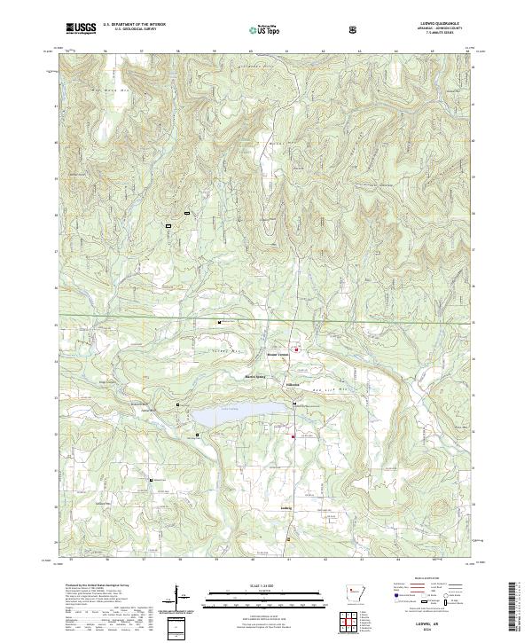
2024 Ludwig
Johnson County, AR
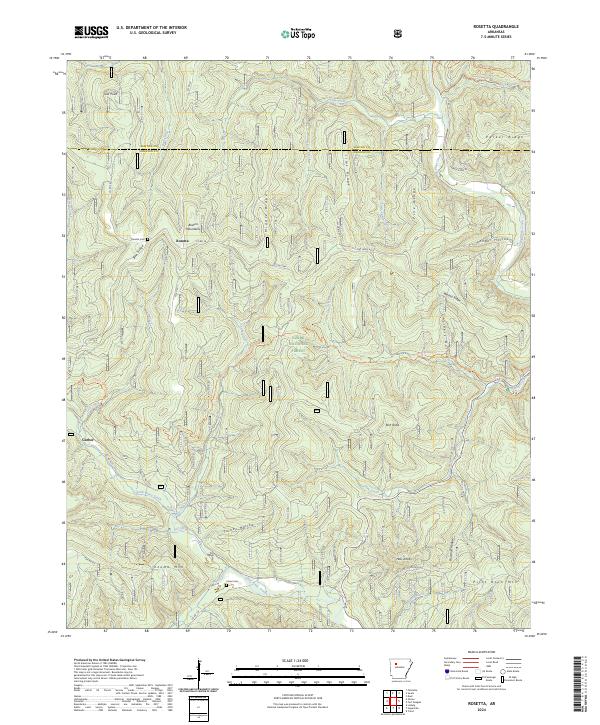
2024 Rosetta
Johnson County, AR
2024 Yale
Johnson County, AR