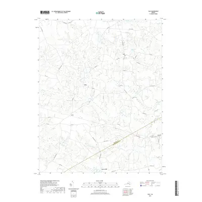
2019 Map of Yale
USGS Topo · Published 2019About this map
Rivers Mill sits at the southern edge of this 2019 survey, where the landscape is defined by the winding drainages of Hornet Swamp and Poplar Swamp. The map documents the rural interface of the Sussex and Southampton county line, a region characterized by small settlements such as Yale, Hilda, and Gray. This modern topographical study reveals the persistent rural layout of south-central Virginia, where local landmarks like Calvary Cem and Antioch Cem remain significant anchors for the community. The network of secondary roads, including Loco School Rd and Popes Station Rd, connects these hamlets through a terrain of low-lying wetlands and ponds like Magee Pond and Rogers Pond. The distribution of these water bodies and named swamps suggests a traditional agricultural and timber-dependent landscape that has maintained its geographic character into the twenty-first century.
Find a feature on this map
50 named features on this map. Tap any name to fly to it.
Don’t see what you’re looking for? This feature index may not catch every label — zoom into the map to look around manually.
Map Details
Editions of this 2019 Yale Map
This is the sole edition of this map. No revisions or reprints were ever made.
Other maps of this area

1919 · Jarratt
USGS Topo · 1:62,500

1919 · Homeville
USGS Topo · 1:48,000

1919 · Boykins
USGS Topo · 1:48,000

1919 · Arringdale
USGS Topo · 1:48,000

1920 · Homeville
USGS Topo · 1:62,500

1920 · Boykins
USGS Topo · 1:62,500

1920 · Arringdale
USGS Topo · 1:62,500

1942 · Arringdale
USGS Topo · 1:62,500

1943 · Sebrell
USGS Topo · 1:31,680

1943 · Littleton
USGS Topo · 1:31,680