Loading...
Loading map...2022 Map of Yantis
USGS Topo · Published 2022About this map
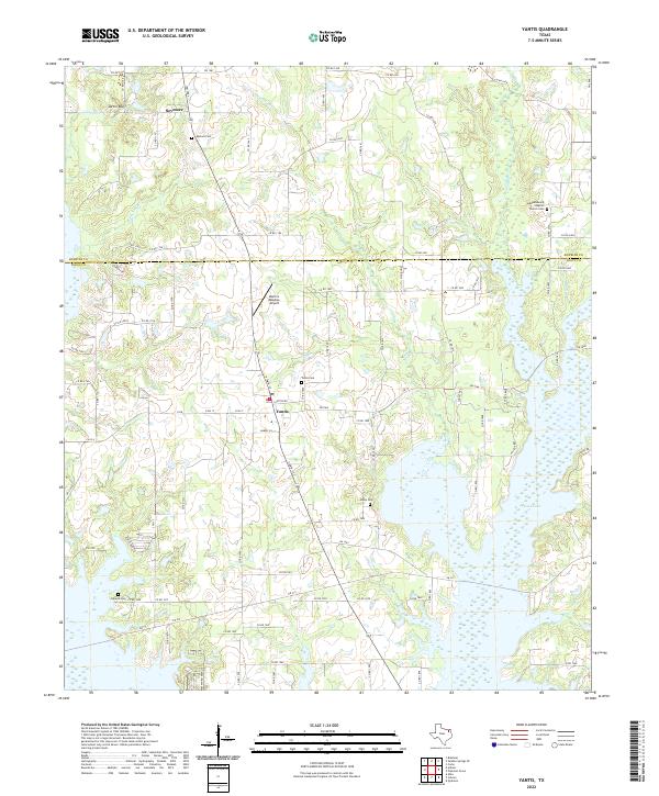
Yantis and the smaller settlement of Seymore anchor this Wood County landscape, where the northern reaches of Case Lake dominate the southeastern terrain. The area is defined by a dense network of creek branches, including Cane Br, Reppond Br, and Kintchloe Br, which drain into the larger basin. Local history is deeply etched into the land through numerous small burial grounds such as Yantis Cem, Seymore Cem, Sharp Cem, and Holland Cem.
Find a feature on this map
95 named features on this map. Tap any name to fly to it.
Don’t see what you’re looking for? This feature index may not catch every label — zoom into the map to look around manually.
Map Details
Date Portrayed2022
Date Published2022
PublisherU.S. Geological Survey
Map TypeTopographic
Scale1:24000
Physical Dimensions24 x 29 inches
Editions of this 2022 Yantis Map
This is the sole edition of this map. No revisions or reprints were ever made.
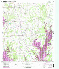
Historical Maps of Yantis Through Time
Featured Locations
Source Details
SourceU.S. Geological Survey
CopyrightPublic Domain