Old Maps of Grubbe, Texas
Explore 11 old maps of Grubbe, spanning from 1956 to today. These high-resolution historic maps reveal how streets, neighborhoods, landmarks, and natural features evolved over time — perfect for genealogy, metal detecting, research, and local history exploration.
What you can do with these maps:
- See how Grubbe changed over time: Compare historical maps to modern-day views to trace roads, homesites, rail lines & more.
- View detailed metadata: Each map includes creators, publishers, year, scale, and archive source.
- Overlay maps with satellite & LiDAR: Visualize the past alongside modern tools to explore terrain & human change.
- Trusted historical sources: Maps sourced from the USGS, Library of Congress, and other archives.
- Access maps your way: View online, download high-res files, or order prints for personal or research use.
Start exploring old maps of Grubbe to uncover forgotten places, hidden landmarks, and the deep history beneath your feet.
Grubbe, TX maps
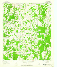
(11)- 1956 Map of Tyler
 1956 Tyler1956 Print · USGSEast Texas was a powerhouse of oil production and rail transport during the mid-fifties, centered on the sprawling East Texas Oil Field. Researchers can trace the heritage of industrial hubs like Kilgore, military sites such as the Longhorn Ordnance Works, and many rural landmarks like Mount Enterprise.5 unique versions available
 - 1959 Map of Yantis, 1960 Print
 1959 Yantis1960 Print · USGSEast Texas ranching and timber lands meet the burgeoning energy sector in the late fifties. Genealogists and local researchers can trace family landmarks like Sandifer Sch, Yantis Cem, and the rural community at Seymore.3 unique versions available
 - 1959 Map of Alba, 1961 Print
 1959 Alba1961 Print · USGSNortheast Texas at the dawn of the 1960s reveals a landscape of oil fields, family cemeteries, and rural rail stops. Genealogists and local historians can locate early sites like Sandifer Sch, Shady Grove, and the Bucks Yandell Cem scattered near the Elm Fork.2 unique versions available
 - 1984 Map of Tyler
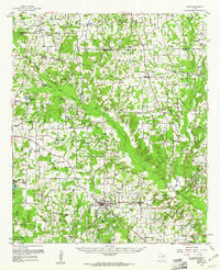
 1984 Tyler1984 Print · USGSEast Texas at the peak of its reservoir-building era shows a landscape defined by new lakes and established rail corridors. Trace the path of the St Louis Southwestern RR or locate industrial sites like the Longhorn Ordnance Works.3 unique versions available
 - 1985 Map of Mineola
 1985 Mineola1985 Print · USGSUpper East Texas in the mid-eighties shows a region shaped by the Sabine River and large-scale water projects. Researchers can trace the rail heritage of the Missouri Pacific RR and locate rural landmarks like Ambassador College Res or the Oil Field.
 - 1991 Map of Mineola
 1991 Mineola1991 Print · USGSEast Texas in the early nineties reveals a landscape shaped by large-scale water reservoirs and the enduring footprint of the oil industry. Genealogists and historians can trace rail-town development in Mineola or explore smaller settlements like Bright Star and Garden Valley.
 - 2010 Map of Yantis, 2010 Print
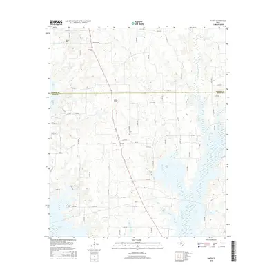
 2010 Yantis2010 Print · USGSCovers Grubbe, including Yantis, Gamblin, and other nearby areas
 - 2012 Map of Yantis, 2012 Print
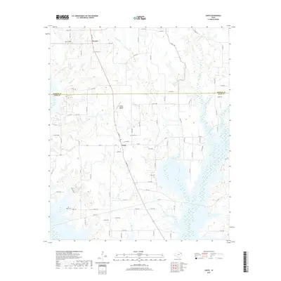
 2012 Yantis2012 Print · USGSCovers Grubbe, including Yantis, Gamblin, and other nearby areas
 - 2016 Map of Yantis, 2016 Print
 2016 Yantis2016 Print · USGSCovers Grubbe, including Yantis, Gamblin, and other nearby areas
 - 2019 Map of Yantis, 2019 Print
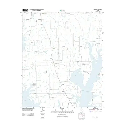
 2019 Yantis2019 Print · USGSCovers Grubbe, including Yantis, Gamblin, and other nearby areas
 - 2022 Map of Yantis, 2022 Print
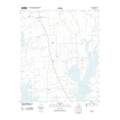
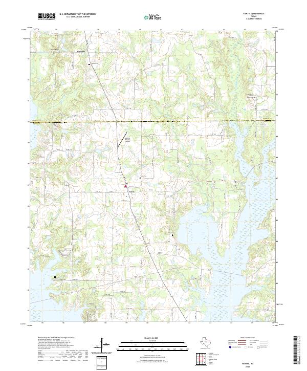 2022 Yantis2022 Print · USGSYantis and the northern Wood County countryside are captured here in the early twenty-first century, showing the interface between small-town life and the expanding waters of Case Lake. Genealogists and historians can trace local family lineages through Yantis Cem, Seymore Cem, and the Independence Baptist Church Cem.
End of results
Showing maps 1-11 of 11
Top cities near Grubbe
- Sulphur Springs historical maps
- Quitman historical maps
- Emory historical maps
- Cumby historical maps
- Como historical maps
- Alba historical maps
See more
Frequently asked questions
- What are the different types of historical maps available for Grubbe?
- What is the oldest map of Grubbe?
- Where can I purchase historical maps of Grubbe for my home or office?
- Where can I download high-res historical maps of Grubbe?
- Are there historical topographic maps available for Grubbe?
- Is there historical aerial imagery available for Grubbe?
- Where are historical maps of Grubbe sourced from?